Found 30 results
Sort by

Pushing Lidar to the Limits

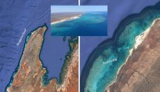
Airborne bathymetric Lidar is an ideal tool to study underwater features in the usually rather clear waters along the coast of Australia. Due to the remoteness of many of the...

Read more

'Great Stories Start Here'

This year’s HxGN Live, Hexagon Metrology’s annual user conference, was once again held in Las Vegas, USA, from 2-6 June. Its maxim: ‘Great Stories Start Here’. From a geomatics point...

Read more

Point Clouds (2)

Collecting and processing point clouds has been trending topic in the geospatial sector over the past few years. This article focuses on point cloud processing software aimed at creating DEMs...

Read more

Point Clouds (1)

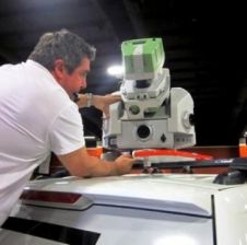
Whether based on Lidar, photogrammetry, radar, sonar or other remote sensors, systems for geodata acquisition create millions or even billions of 3D points. To be useful, the data needs to...

Read more

Global Mapping

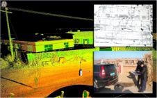
We are a company that provides digital cartography solutions designed to meet our clients’ needs and obtain levels of precision that guarantee their trust in us. To achieve this, we...

Read more