Reflections on HxGN LIVE Global 2023
It is time to innovate with technology that can be applied ‘right here, right now’. That was the clear message during HxGN LIVE Global 2023. President and CEO Paolo Guglielmini...

It is time to innovate with technology that can be applied ‘right here, right now’. That was the clear message during HxGN LIVE Global 2023. President and CEO Paolo Guglielmini...

The city of Nottingham has taken a significant stride towards realizing its vision of establishing a digital twin for the city. In what is believed to be a pioneering initiative...

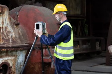
The University of Bradford has taken delivery of the UK’s first Leica TRK700 Evo – a vehicle-mounted mobile mapping system capable of capturing two million data points every second to...
Which factors contribute to the slow adoption of TLS in Nigeria? These insights can help to stimulate the uptake of instrumentation and enhance professional surveying in other developing countries across...
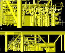
Artec 3D has introduced the Artec Ray II, a highly precise 3D Lidar scanner specifically designed for digitizing large objects and spaces with exceptional speed and accuracy. Artec 3D is...
Leica Geosystems, a part of Hexagon, has launched the brand-new Leica CountryMapper, its most efficient solution yet for large-area imaging and Lidar mapping. The company unveiled this latest expansion to...
Webinar Leica CountryMapper
Webinar Leica CountryMapper

Werner Lienhart is a full professor and head of the Institute of Engineering Geodesy and Measurement Systems at Graz University of Technology, Austria. Prior to this position, he was product...
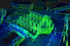
The National Institute for Immovable Cultural Heritage (NIICH) of Bulgaria recently presented the first results of a 3D mapping project of the ancient town of Nessebar. With a history spanning...
This site uses cookies. By continuing to use this website, you agree to our Cookies Policy. Agree