Found 484 results
Sort by

Ordnance Survey partners with OxTS

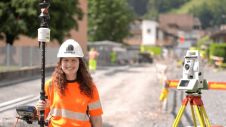
Ordnance Survey, the national mapping agency for Great Britain, was in need of a faster and more cost-effective way to collect georeferenced point cloud data, because the existing method was not sustainable in the long term. The Ordnance Survey team turned to Datron Technology and OxTS to help them develop a convenient, low-cost, ‘off-the-shelf’ mobile mapping system. Ordnance Survey, the national mapping agency for Great Britain, was in need of a faster and more cost-effective way to collect georeferenced point cloud data, because the existing method was...

Read more

Remote sensing for land administration

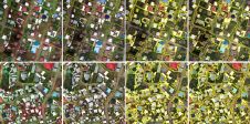
From drones and satellites to airborne-based sensors and Lidar, advances in remote sensing and geospatial information science are driving the development of innovative methods for data acquisition, processing and maintenance....

Read more

Ioannis Tavantzis

Ioannis Tavantzis is a PhD candidate at the Spatial Planning and Development department of Aristotle University of Thessaloniki (AUTh), Greece. He holds an MEng in Urban/Spatial Planning and Development Engineering...

Read more

Briana Brown

Briana Brown is a geographer and writer specializing in geospatial storytelling. As director of content & product marketing at Ecopia AI – a spin-off from PhD research at the University...

Read more