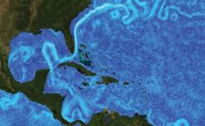
Danish Hydrographic Office Turns to GIS for Automated Maritime Charting
Denmark has challenging seascapes to map and chart. It has a rich history of nautical charting that dates back to the seventeenth century, and many of its navigational products for...