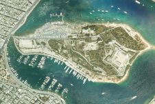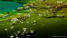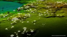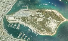
Bluesky Aerial Survey Helps Malta Develop Geospatial Infrastructure
Aerial mapping company Bluesky has captured aerial photography and 3D map coverage of Malta. Working alongside tender lead IIC Technologies and Ordnance Survey, Bluesky captured ultra-high resolution aerial photography together...