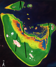
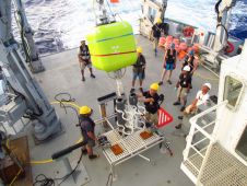
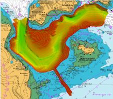
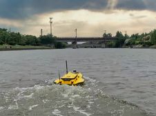
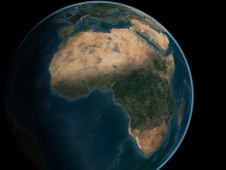
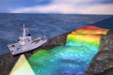
Found 57 results
Sort by

Using the Apache Unmanned Survey Vessel

This paper explores the various features of the Apache USV series for efficient seafloor-level mapping. The CHCNAV hydrographic survey software is used for data recording and analysis. It provides results...

Read more

Extraterrestrial hydrography

While there is still lots of ocean mapping work to do on Earth, oceans situated elsewhere in our solar system hold plenty of mysteries too, writes Wim van Wegen in...

Read more

Mapping Africa's Seafloor

A two-part webinar series entitled ‘Mapping the Seafloor around Africa’ was jointly organized by the IOC-UNESCO Sub-Commission for Africa and the Adjacent Island States (IOCAFRICA) and the Nippon Foundation-GEBCO Seabed...

Read more

Airborne Lidar bathymetry in close up

RIEGL tested the performance of its topobathymetric airborne laser scanning system in a transition zone context along the French Mediterranean coast. Initially planned as a UAV survey, tests were conducted...

Read more