Found 8032 results
Sort by

Web Coverage Service 2.0 Standard

The Open Geospatial Consortium (OGC) announces adoption and avail ability of the OGC Web Coverage Service (WCS) Interface Standard, Version 2.0. The WCS 2.0 standard is available for free download....

Read more

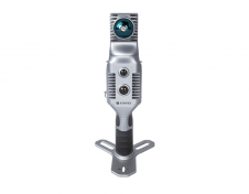
3D TARGET

3D TARGET was founded as a trading company and official distributor of non-destructive measuring instruments. In 2016, we created an internal R&D division dedicated to system integration and designed a...

Read more

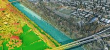
3D geospatial visualization

3D visualization is at the heart of many geospatial data applications. Progress in 3D visualization has drastically reduced barriers to entry for new products based on large datasets, thanks to...

Read more

Web-mapping Demonstrator

British developer of geographic information systems (GIS) software, Cadcorp, has provided unrestricted access to a hosted demonstration version of its popular web-mapping application, Web Map Layers. Prospective users in public...

Read more

Disaster Mapping 2.0

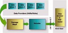
There has been a recent increase in the incidence of major disasters and the damage caused, in terms both of human suffering and economic cost. UNOSAT Mapping The main goal...

Read more