About us
Contact
Advertise
Join our newsletter
Product Showcase
Browse by topic
Land surveying
Cartography / GIS
Remote sensing
Positioning
Urban planning
Construction & Engineering
Lidar
Articles
News
Case studies
Members
Events
Videos
Magazine
Features
reality capture
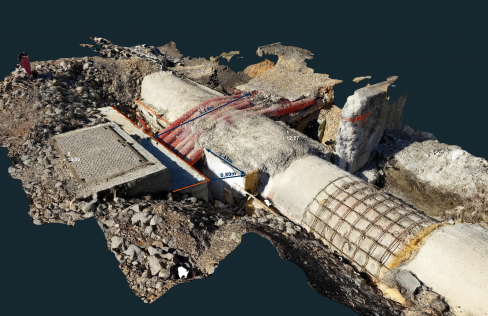
Exploring the potential of videogrammetry
April 23, 2024
sustainability
The case for natural capital accounting
April 16, 2024
geodesy
New UN organization to highlight the value of geodesy
April 4, 2024
aerial mapping
How can aerial surveying help to monitor climate change?
March 28, 2024
geospatial industry
Mapping the mood of the geospatial community
March 19, 2024
geospatial data visualization
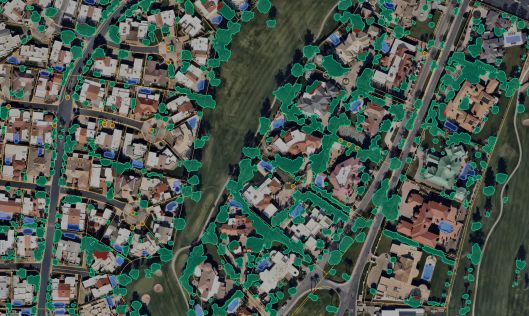
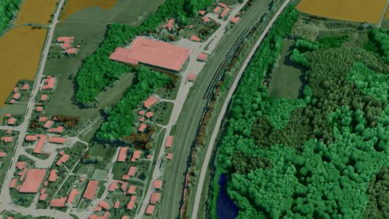
3D geospatial visualization
March 7, 2024
disaster prevention
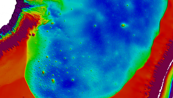
Harnessing topobathymetric Lidar for climate resilience
February 22, 2024
land administration
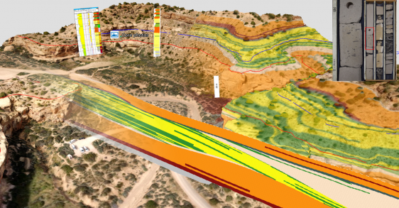
Today’s GIS technology puts multipurpose cadastre within reach
February 8, 2024
geodesy
The importance of geodetic reference frames
February 1, 2024
land administration
Is it possible to create a cadastral map of Europe?
January 16, 2024
land management
Transforming cadastral surveying for Ghana’s future
January 9, 2024
digital twin
AI-generated 3D digital surface models from digital orthophotos
December 20, 2023
Construction
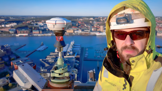
Pioneering precision in Swedish skyscrapers
December 13, 2023
aerial imagery
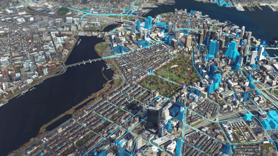
Enhancing reality mapping with different perspectives
December 7, 2023
←
Prev
1
2
3
4
5
Next
→
Browse by topic
Land surveying
Cartography / GIS
Remote sensing
Positioning
Urban planning
Construction & Engineering
Lidar
Articles
News
Case studies
Members
Events
Videos
Magazine
This site uses cookies. By continuing to use this website, you agree to our
Cookies Policy
.
Agree