Hesai Agrees Distribution Partnership with LiDARUSA
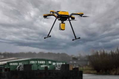
Under a new agreement, LiDARUSA will be distributing Hesai Technology’s 3D Lidar sensors across the USA, Canada, and Mexico. Hesai’s Lidar sensors have a reputation for ensuring robust detection u...


