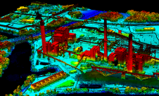
Lidar
This issue of GIM is largely devoted to emergent Lidar technology. We have a feature on 3D-visualisation of Lidar data co-authored by new contributing editor Dr Bharat Lohani of IIT...
This issue of GIM is largely devoted to emergent Lidar technology. We have a feature on 3D-visualisation of Lidar data co-authored by new contributing editor Dr Bharat Lohani of IIT...
Woolpert has forged a strategic alliance with Allvision with the goal of enhancing geospatial artificial intelligence capabilities and applications. This partnership seamlessly integrates Pittsburgh-based geospatial analytics and asset management company...
How can city digital twins support the attainment of SDG11? They can be used to manage infrastructures (e.g. roads, transportation and public services, smarter energy grids and water networks), support...
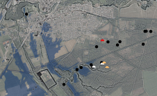
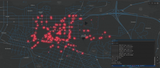
The International Association of Landscape Archaeology (IALA) has chosen a PhD thesis titled 'Learning to look at Lidar: combining CNN-based object detection and GIS for archaeological prospection in remotely-sensed data'...

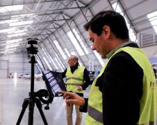
How can laser scanning and surveying firms stand out from the growing competition? This article provides tips for service providers striving to keep up with the latest technological trends while...

The organizers of Geo Week have released a preview of two keynote sessions for 2024: 'The Bright Future Ahead: Navigating AEC, 3D, and Geospatial Innovation and Change', and 'Geospatial for...
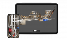
FARO Technologies has announced the acquisition of SiteScape. An innovator in Lidar 3D scanning software solutions for the AEC and O&M markets, SiteScape enables Lidar-equipped mobile devices to easily capture...
The Dutch startup Aerial Precision recently demonstrated its first two sensors with integrated artificial intelligence software. Over the past few years, the company’s innovation efforts have resulted in products that...

At OxTS, in line with our brand promise of being inertial navigation experts, our commitment to our customers is that we will keep innovating until we can help them truly ‘navigate anywhere’ – with or without GNSS. We are advancing our products in that direction by first enhancing urban navigation data quality based on sensor fusion. Here, we explain how. At OxTS, in line with our brand promise of being inertial navigation experts, our commitment to our customers is that we will keep innovating until we can help them truly...
This site uses cookies. By continuing to use this website, you agree to our Cookies Policy. Agree