Found 2187 results
Sort by

CHCNav introduces AlphaUni 20 Lidar system

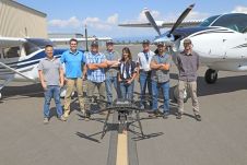
The AlphaUni 20 (AU20) Lidar system represents a new era in cost-effective, multi-platform mobile mapping solutions, according to CHC Navigation (CHCNav), a global leader in precision mapping, positioning and navigation...

Read more

Using AI for good

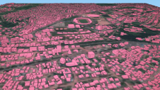
Humanitarian organizations turned to artificial intelligence (AI) to generate a comprehensive map of sub-Saharan Africa at scale and also keep it updated to reflect real-world changes. Geospatial analysis is a...

Read more

Christelle van den Berg

Christelle van den Berg is a regional manager for Kadaster International. She extends the organization’s knowledge to countries undergoing land administration development, collaborating with ministries, embassies, universities, global businesses and...

Read more

From paper to pixels in Benin

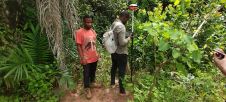
To provide all Beninese citizens the right to access land, bring economic prosperity and prevent land-related disputes, the Beninese government aims to establish a nationwide digital land administration system. With...

Read more