Found 288 results
Sort by

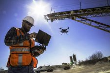
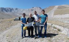
UAS Photogrammetry for Mapping Mountains

Unmanned airborne systems have great potential for rapidly mapping mountainous areas, to minimize risks to mountaineers and first responders. High mountains are attractive places for outdoor sports. However, sometimes they...

Read more

Pioneers in Capturing Public Space

CycloMedia is a renowned mapping company specialised in large-scale and systematic visualisations of environments. Its headquarters are situated in The Netherlands, a country that is an excellent testing ground for...

Read more

The ‘Where’ is the Disruption

Few people think about how time relates to location and spatial awareness. Tools for measuring time and space form the foundation of geography and are critical to connecting people to...

Read more