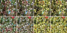
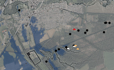
Found 2112 results
Sort by

Remote sensing for land administration

From drones and satellites to airborne-based sensors and Lidar, advances in remote sensing and geospatial information science are driving the development of innovative methods for data acquisition, processing and maintenance....

Read more

Zhen Dong

Prof Zhen Dong is currently a professor at the State Key Laboratory of Information Engineering in Surveying, Mapping, and Remote Sensing of Wuhan University. His research interest lies in the...

Read more

Yuzhou Zhou

Yuzhou Zhou received an MSc degree in Photogrammetry and Remote Sensing from Wuhan University, China, in 2022. He is currently a DPhil student in the Department of Computer Science at...

Read more

Ifigeneia Skalidi

Ifigeneia Skalidi holds an MEng in Electrical and Computer Engineering from the Engineering Faculty of University of Thessaly (UTH), Greece. She is a PhD candidate in the Spatial Planning and...

Read more

The Surveyor 4.0

Over the centuries, all four industrial revolutions have influenced surveying instruments and the profession as a whole. This article explores which different skills and capabilities surveyors are required to develop...

Read more