Data Behind MH370 Search: Phase One Released
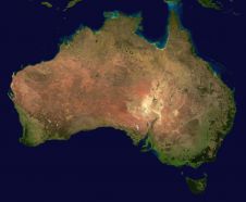
Geoscience Australia has released the sea floor mapping data collected during the first phase of the search for missing Malaysia Airlines flight MH370. The search for MH370 involved collecting large...
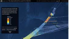
Geoscience Australia has released the sea floor mapping data collected during the first phase of the search for missing Malaysia Airlines flight MH370. The search for MH370 involved collecting large...
Scientists from Geoscience Australia have released new software that will improve the ability to process large, remotely sensed satellite datasets. The new PyRate software is open-source Python software for collating...
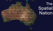
Despite having a population which is relatively small to its geographic side, Australia is a country which punches well above its weight on the global geospatial stage. In this article,...
According to Geoscience Australia, technology companies GMV, Inmarsat and Lockheed Martin have joined Australia's two-year national positioning project. The project is trialling a Satellite Based Augmentation System (SBAS) to improve...
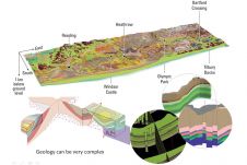
Advances in the use of GIS and 3D modelling software have meant that there is now a greater opportunity to develop geo-environmental information systems for urban development, argues Dr Katherine...
The University of Aberdeen has an enviable reputation for geoscience, GIS teaching and research. Dr David Green introduces the challenging MSc in GIS programme. All of the modules we teach...

Bathymetric data in the shallow water zone is of increasing importance to support various applications such as safety of navigation, reconnaissance surveys, coastal zone management or hydrodynamic modelling. A gap...
The Australian government will invest AUD12 million in a two-year programme looking into the future of positioning technology in Australia. From using Google Maps on their smartphone to emergency management and...
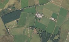
Today’s geospatial technology means that land administration systems can increasingly be implemented for the benefit of all. It is now possible to conceive approaches to capturing the unrecorded geometry of...

At the 2nd Virtual Geology Conference (VGC 2016) from 22-23 September 2016, geomatics met the geosciences in the beautiful fjord town of Bergen in western Norway. This follow-up to the...
This site uses cookies. By continuing to use this website, you agree to our Cookies Policy. Agree