Found 6607 results
Sort by

Imaging solutions combined with AI and 5G hold promise for forest health and wildfires

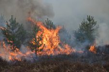
The number of wildfires has increased dramatically in recent years due to diminishing forest health caused by the drastically changing climate across the world. Longer dry-weather periods and pressure from a variety of pests and diseases, e.g. bark beetles, are affecting the large forest areas in Northern Europe. In addition to financial losses, these impacts are resulting in lower carbon accumulation and vast ecological changes. The number of wildfires has increased dramatically in recent years due to diminishing forest health caused by the drastically changing climate across the world. Longer dry-weather periods and pressure from...

Read more

Planet

Planet was founded with the mission to image the Earth every day and make change visible, accessible, and actionable. Over the past decade with our customers, Planet has revolutionized the...

Read more

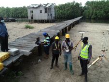
Land surveying and topography

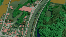
A topographic survey collects information about the land's natural and man-made characteristics, as well as its terrain. Buildings, fences, trees, and waterways are permanent structures that accurately define the ground and its boundaries. The elevation of the terrain is depicted by land contours and spot levels. Architects, engineers, construction builders, and others utilize topographic maps to precisely visualize their sites and speed up development. A topographic survey collects information about the land's natural and man-made characteristics, as well as its terrain. Buildings, fences, trees, and waterways are permanent structures that accurately define the ground...

Read more

Land Matters

Summer is on the way at long last and RICS Geomatics has been very busy on an ever-increasing UK and global portfolio. The early summer months see several of our...

Read more