GPS for Land Subsidence Monitoring
Excessive groundwater extraction in the Bandung Basin has led to rapid sinking of the water table and is hypothesised as the main cause of land subsidence. Periodical GPS surveys were...
Excessive groundwater extraction in the Bandung Basin has led to rapid sinking of the water table and is hypothesised as the main cause of land subsidence. Periodical GPS surveys were...
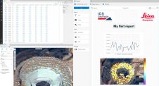
With version 2.1 of GeoMoS, Leica Geosystems (Switzerland) has introduced several new possibilities for the users including enhanced update of TPS stand points and reference points by GPS, multiple graphs...
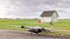
The new state-of-the-art Phase One P5 128MP camera has been seamlessly integrated into Quantum Systems’ flagship Trinity Pro mapping drone and the leading surveying workflow, Trimble Business Center. The resulting purpose-built,...
Vexcel Corporation (CO, USA) has been chosen by Romania's National Agency for Mineral Resources to lead a feasibility study for a countrywide environmental monitoring system for Romania's mining industry. The...
Earthquakes are often followed by outbreaks of fire. In Japan such events are frequent and cities are very vulnerable to fire damage. Optimal use of fire-fighting resources is crucial, including...

The Nemetschek Group has led a financing round for a platform to automate construction quality monitoring by combining advanced AI, reality capture and BIM technologies. The next-generation platform has been...
Hexagon’s Geosystems division has released HxGN GeoMonitoring Hub, an integrated visualization and analysis platform bringing all sensor technology together in one holistic view of a mining environment. The new platform...
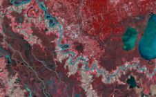
Airbus Defence and Space is now offering new capabilities for wide area monitoring through the DMC Constellation, bringing increased resolution (12 to 24m) and extra spectral bands, including Red-Edge, Blue,...

Extreme Aerial Productions is using SimActive's Correlator3D software solution for desert site monitoring applications in Phoenix, Arizona, USA. Aerial imagery in conjunction with conventional ground survey is being used to...

The Commonwealth Scientific and Industrial Research Organisation (CSIRO) has released a crop monitoring app called Graincast. It combines data from satellites, sensors, climate forecasts and historical yield data, giving farmers...
This site uses cookies. By continuing to use this website, you agree to our Cookies Policy. Agree