Bad Hersfeld Is Built in a Day – But Digitally!
Several hundred thousand visitors are expected to descend on the town of Bad Hersfeld in eastern Hesse in just ten days for this year’s “Hessentag” festival – a Herculean feat of logistics and...
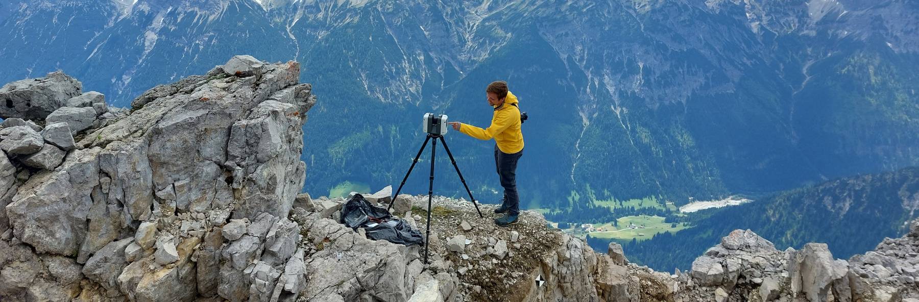
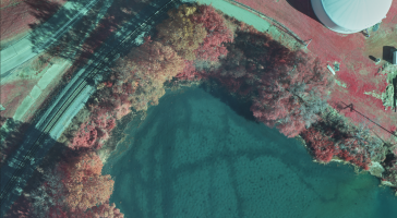
GIM International's "Case Studies" section delivers comprehensive examinations of actual geospatial projects. These studies shed light on the hands-on use of technologies and methodologies in the geospatial realm, empowering professionals to address obstacles efficiently and catalyze innovation. (Image courtesy: Christoph Holst/Technical University of Munich)
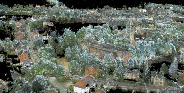
Several hundred thousand visitors are expected to descend on the town of Bad Hersfeld in eastern Hesse in just ten days for this year’s “Hessentag” festival – a Herculean feat of logistics and...

As new technologies emerge with the promise to increase productivity and efficiency, costing is one of the most important criteria in a project life cycle. Construction companies are seeking more effe...
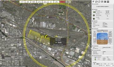
Don Cummins is passionate about agriculture and flying, which inspires the Air Data Solutions (ADS) President, to deliver real workable data from aerial photography missions. The company began by prov...
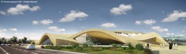
ArRiyadh New Mobility Consortium (ANM) was selected to deliver the 41.8km Metro Line 3 for Riyadh, Saudi Arabia which will form part of the six-line mega project that will run for a total length of 17...
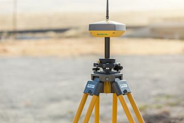
Since 2016, Topcon Positioning Group has exclusively provided the National Land Survey of Finland (NLS) – or Maanmittauslaitos – with its high-precision geomatics solutions, enabling the organizat...
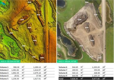
Organisations that contract road-building projects typically compensate construction companies based in part on the excavation and transportation of the soil and the cost of the material. But traditio...

Piling is a vertical structural element with a deep foundation, driven or drilled deep into the ground. In this project, it was necessary to create a deep foundation in a shallow-water sandy area, whi...

LafargeHolcim Tanzania is situated in Mbeya, Tanzania, close to the border of northern Malawi, Burundi, and the DRC. The operation includes both a cement plant and nearby limestone quarry. The cement ...

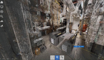
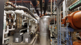
Alley Poyner Macchietto Architecture (APMA) wanted to increase efficiency in both capturing the as-built conditions and the modelling process. The firm opted to use Matterport for reality capture of t...
Aryn Bergman, lead engineer and founder of TL Circle, is frequently confronted with complex engineering projects requiring days of laborious, time-consuming BIM modelling in Revit, usually from hand-d...
Professionals across the architectural, engineering and construction disciplines have long understood the importance of visualisation in planning and executing building projects. Visual tools such as ...
In 2029, the US state of California will see the opening of the first high-speed rail system in the country. The project, commissioned by the California High-Speed Rail Authority, will connect San Fra...
This site uses cookies. By continuing to use this website, you agree to our Cookies Policy. Agree