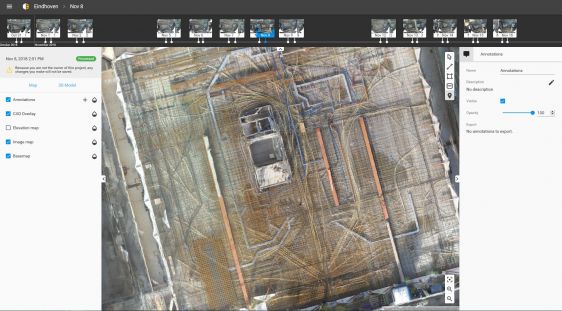
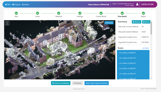
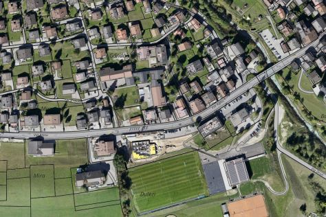
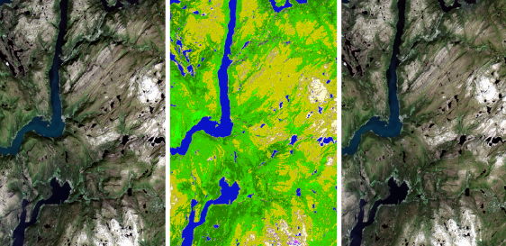
• About us
  • Contact
  • Advertise
  • Join our newsletter
  • Product Showcase
  • Intergeo special
GIM International
  • Topics
    • Land surveying
    • Cartography / GIS
    • Remote sensing
    • Positioning
    • Urban planning
    • Construction & Engineering
    • Lidar
  • Articles
  • News
  • Case studies
  • Members
  • Events
  • Videos
  • Magazine
  • Podcast
GIM International

Features

Building a 3D world: common sources of elevation data
aerial mapping

Building a 3D world: common sources of elevation data

April 29, 2021
Participatory geomatics network for coastal mapping and monitoring
coastal mapping

Participatory geomatics network for coastal mapping and monitoring

April 29, 2021
Vegetation Mapping Using Multispectral UAV Images
UAV

Vegetation Mapping Using Multispectral UAV Images

April 22, 2021
Advanced urban 3D modelling and visualization
3D modelling

Advanced urban 3D modelling and visualization

April 7, 2021
Towards a coastline base map in Indonesia
Lidar

Towards a coastline base map in Indonesia

April 6, 2021
The key parameters of a modern Lidar system
Lidar

The key parameters of a modern Lidar system

March 30, 2021
Unlocking Potential: Emerging Geospatial Trends for Business
geospatial

Unlocking Potential: Emerging Geospatial Trends for Business

March 25, 2021
EAASI Ascends to New Heights
EAASI

EAASI Ascends to New Heights

March 23, 2021
Recent trends in four Lidar technologies
Lidar

Recent trends in four Lidar technologies

March 16, 2021
SfM photogrammetry for 3D terrain mapping
accuracy

SfM photogrammetry for 3D terrain mapping

March 15, 2021
How Real-time Monitoring Reduces Water Losses
monitoring

How Real-time Monitoring Reduces Water Losses

March 11, 2021
Creating a Smart Nation: the Geospatial Approach
infrastructure

Creating a Smart Nation: the Geospatial Approach

February 23, 2021
Emerging from COVID-19
geospatial

Emerging from COVID-19

February 11, 2021
Key Global and Technology Drivers Impacting Surveying
geospatial

Key Global and Technology Drivers Impacting Surveying

February 4, 2021
  • ←Prev
  • 10
  • 11
  • 12
  • 13
  • 14
  • Next→
GIM International
Geomares
GIM International is the independent and high-quality information source for everything the global geomatics industry has to offer, online and offline! We provide information about all the major topics in the business, such as mapping & surveying, geodesy, cartography, Lidar, GIS, photogrammetry, UAV/UAS, GNSS, remote sensing and more.

Themes

  • Lidar
  • GIS
  • UAS/UAV
  • GPS
  • GNSS
  • Mobile Mapping
  • Point Clouds

General

  • Advertise
  • About us
  • Contact
  • Contribute
  • Industry Showcase

Follow GIM

  • Newsletter
  • Facebook
  • LinkedIn
  • Twitter
  • News RSS Feed
  • Articles RSS Feed
  • Privacy
  • Cookies
  • Terms & Conditions
  • Sitemap
  • Contact
  • Advertise

© 2026 Geomares. Copyright reserved.

GIM International
  • Topics
    • Land surveying
    • Cartography / GIS
    • Remote sensing
    • Positioning
    • Urban planning
    • Construction & Engineering
    • Lidar
  • Articles
  • News
  • Case studies
  • Members
  • Events
  • Videos
  • Magazine
  • Podcast