An interview is the ultimate opportunity to get to know key figures in the geomatics industry. The interview is a regular part of the GIM International magazine and is written to reveal the view of a professional, company or organisation regarding specific topic within geomatics. Topical questions will be answered by the interviewee concerning his company, organisation, products, market views, philosophies or strategies. Apart from the regular interview, the rubric ‘5 Questions to…’ is a short article and a quick way to introduce someone or something in the business.

Suchith Anand served as the founding chair of the ICA Commission on Open Source Geospatial Technologies. He is currently serving as the chair of Geospatial IG of Research Data Alliance (RDA). He is wo...

In today’s datafying world, we continuously leave – unintentionally – digital traces of our daily lives. These traces can reveal a lot about us, our beliefs and our actions to parties who are no...

NUBIGON is a start-up company with offices in Turkey and Austria that has developed powerful reality capture software. The company’s solution visualises Lidar and photogrammetric point clouds in rea...

Peter Hedlund leads an OS team that helps National Mapping and Cadastral Agencies and governments around the world develop and grow their geospatial capabilities. Prior to joining OS as Managing Direc...

The Global Spatial Data Infrastructure (GSDI) Association was formed in 2004 as an inclusive networking organisation of academic and research institutions, government agencies, commercial geomatics fi...

FARO is known as a trusted source of high-precision 3D measurement, imaging and visualisation technology. In the surveying and mapping field, the company is particularly well known for its laser scann...

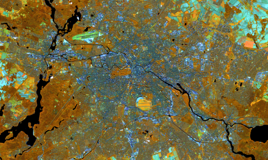
The demand for mapping intensively used parts of the Earth, including roads and cities, is steadily growing. This is because today’s rate of urbanisation requires detailed and up-to-date geodata in ...

The way in which land rights are registered in The Netherlands is internationally renowned. The relevant national agency, Kadaster, has extensive knowledge and skills regarding land registration, land...

The way we capture the reality is changing rapidly. One of the pioneers leading this change is NCTech, a Scotland-based company specialised in 360-degree reality imaging systems. The company works wit...

Unmanned aerial vehicles (UAVs or ‘drones’) have become an essential tool for land surveyors. The geospatial industry is turning to drones to map the environment, which is also impacting the comme...
This site uses cookies. By continuing to use this website, you agree to our Cookies Policy. Agree