Arts and Science Meet in Montreal
Last September the Art and Cartography Working Group of the International Cartographic Association (ICA) organised a workshop entitled ‘Mapping’ Environmental Issues in the City: Arts and Cartographic Cross Perspectives. This workshop aimed to encourage and explore the interactions between cartographers, artists, designers and any other area of ‘arts’ (poets, writers, dancers, gamers) who work on the various aspects of mapping.
Expectations
Across different domains of knowledge and practice, mapping is a method that many use to make sense of information and communicate it to others. However, expectations and conventions around mapping differ tremendously. While in cartography ‘mapping’ refers to specific techniques and concepts for representing information relating to places, in the arts and humanities this term is used more broadly and includes a diversity of practices and expectations. More than simply data, artists and other creative practitioners express through maps differing understandings, fears, hopes, emotions and perceptions about locations and people, and these dimensions are essential for
a full understanding of our relationship to places in the world today.
Artists and Maps
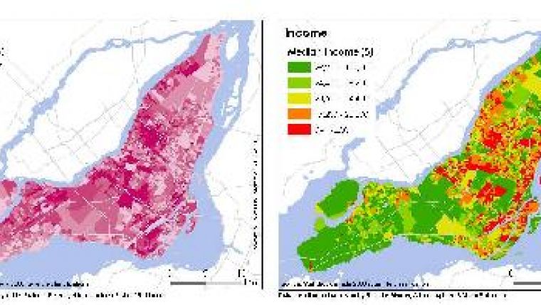
The goal of the Montreal workshop was to expose cartography to mapping from the arts, and vice versa. In order to reach this goal the workshop was designed to facilitate the production of diverse spatial representations of a specific database compiled during winter 2010 by students on the Diploma in Environmental Assessment (Department of Geography, Planning & Environment) at Concordia University (Montreal). The data collection and analysis was part of a course entitled ‘Geographic Information Systems for Environmental Impact Assessment (ENVS663)’ and the database includes information relating to health issues, socio-demographic profiles, air quality and industrial emissions in Montreal.
Explorations
International scholars, students and artists were then invited to submit proposals describing projects somehow inspired by this database. During three days (8th to 10th September 2010) sixteen artists, cartographers, designers, and media practitioners from across the globe (Canada, USA, Europe, Australia, New Zealand) developed their own projects and contributed to the development of others (see the list of projects: website 1). After the workshop authors finalised their project into scientific and artistic contributions. The diverse disciplinary explorations that emerge from this workshop will be published by Springer-Verlag as an edited book, so that the discoveries of the participants will both be disseminated to the broader community of people engaged with issues around mapping and place representation, and also provoke further explorations across the field (find more details about the workshop at website 2).

Value staying current with geomatics?
Stay on the map with our expertly curated newsletters.
We provide educational insights, industry updates, and inspiring stories to help you learn, grow, and reach your full potential in your field. Don't miss out - subscribe today and ensure you're always informed, educated, and inspired.
Choose your newsletter(s)


