Cartographic Events Spanning the Globe
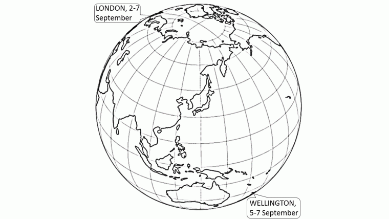
Two events in September this year will demonstrate the global span of the cartographic discipline; at contraposed points on our planet, there are concurrent cartographic conferences which, although national in organisation, the ICA recommends as being internationally significant.
GeoCart2018 is the biennial national cartographic conference of the New Zealand Cartographic Society (NZCS), and is scheduled for 5-7 September 2018. This wide-ranging event, which is presented in conjunction with the Australia and New Zealand Map Society (ANZMS) , will take place at the National Library of New Zealand, in the capital of Wellington. It aims to bring together a wide cross-section of professionals, researchers and enthusiasts engaged in cartography, map curatorship and research, geovisualisation and GIScience. With international keynote speakers and a full programme devoted to cartographic practice within the country, the conference – with its title ‘Cartographies of Change: Then, Now and Tomorrow’ – is a widely anticipated event. The proceedings of previous conferences have resulted in valuable additions to the NZCS list of publications available.
In an Antipodean nation to New Zealand (the UK), another capital city (London) will host the UK Mapping Festival during the same time period. This event involves professional bodies, learned societies, government agencies, commercial companies, educational bodies, interest groups and enthusiasts, collaborating on a series of events from 2-7 September 2018. The overall aim of the festival is to increase awareness of mapping in its many forms, providing forums for learning how to use maps, training in the latest techniques for creating, managing and displaying maps, and educating young and old into the great diversity and rich heritage of maps past and present. The formal part of the programme will be in three parts: GeoSpatial theme run by the Association of Geographic Information (AGI)/GeoForum (4 September); Mapping and Cartography theme run by the British Cartographic Society (BCS)/Society of Cartographers (SoC) (5 September); and Imagery theme run by the British Association of Remote Sensing Companies (BARSC)/Remote Sensing and Photogrammetric Society (RSPSoc) (6 September). Other activities will include a Geomob/social event, workshops and a HotOSM mapathon.
More information
https://cartography.org.nz/geocart2018

Value staying current with geomatics?
Stay on the map with our expertly curated newsletters.
We provide educational insights, industry updates, and inspiring stories to help you learn, grow, and reach your full potential in your field. Don't miss out - subscribe today and ensure you're always informed, educated, and inspired.
Choose your newsletter(s)


