Growing Public Awareness of Geospatial Technology Brings New Chances for the Industry
Today, with everyone able to capture reality and with Lidar even transforming smartphones into 3D scanners, there is a lot of buzz about the wide availability of geodata and the ‘democratisation’ of geoinformation, according to Wim van Wegen, content manager of 'GIM International', in his latest column. However, rather than getting caught up in the hype, let’s calmly observe what we already have and what we can expect in the years ahead in terms of an even stronger geospatial presence in our society.
The title of this column is perhaps not an entirely true reflection of reality. Geomatics always has been part of our daily lives, of course, but it used to be there in the (distant) background and awareness among citizens was generally low. Over the past decade we have seen a growing number of geospatial applications rapidly becoming an integrated part of our lifestyle and culture, ranging from Google Earth – which brought a digital twin of our environment to the masses – to location-based services such as car navigation systems. Did you ever stop to wonder how many apps on your smartphone actually rely on geospatial technology? In fact, most of them do. One excellent example of how geospatial technology can capture our imagination was the instant global success of the Pokémon Go mobile game in 2016 – at first glance a media hype that caused mass hysteria, but it was actually so much more than that. Without the geospatial technology behind it, this location-based augmented reality game would never have been such a triumph for developer Niantic and its Japanese partners Nintendo and The Pokémon Company.
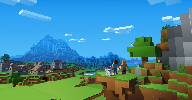
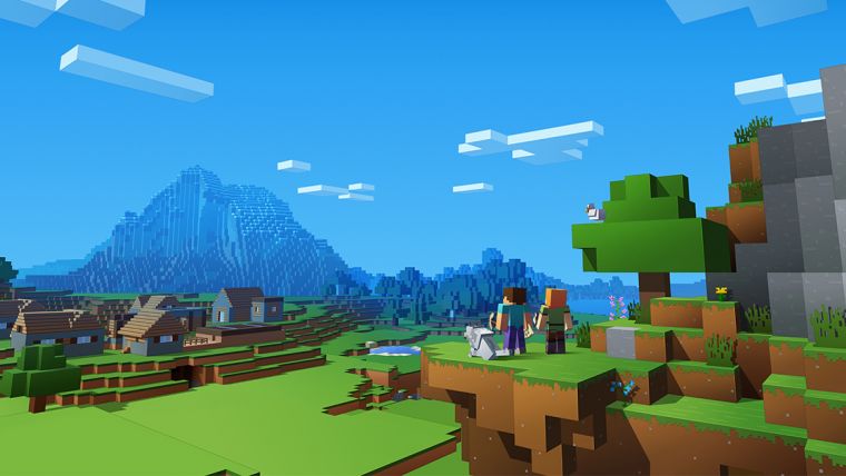
The next big geomatics-based development to influence our lives will be reality modelling, which is now going mainstream. It may not be directly visible for the average citizen, but the technology will have a major impact on people’s work, travel and leisure. Reality modelling can be used to involve citizens in construction and infrastructure projects. Local governments can use 3D models for public communication and understanding, and to gain useful feedback. This will result in increased public support and engagement, as well as giving citizens more influence. Another example of a high-impact technology is virtual reality (VR). Strictly speaking it is not new (the concept of VR was first formulated in the 1960s), but VR is now playing an increasingly important role in the infrastructure and construction industry. VR and 3D modelling go hand in hand, and will also enter our homes. Minecraft, which is actually all about building in 3D, has of course already become a hugely popular game. And in July 2017, Google launched a new virtual reality 3D modelling application called Google Blocks. The combination of these developments with the new generation of tech-savvy youngsters and graduates entering the labour market opens up lots of new opportunities for the geospatial industry. The timing is excellent since our industry is transitioning towards becoming much more broadly versatile for society, with 3D as the cornerstone. This revolutionary shift from 2D to 3D information can be summed up in a single sentence: AR, VR and 3D will be the key factors in the industry over the coming years. Fusing these three elements together will offer solutions for many verticals in the geospatial world, whether for infrastructure, industrial design, agriculture, crisis management or urban planning. At the risk of stating the obvious for geomatics scientists and experts, combining these three factors with machine learning will change our world immensely. The boundaries between technologies are blurring, and let’s not forget that machine learning, big data and artificial intelligence are also becoming intertwined in many geospatial applications.
‘Smart cities’ is another phenomenon that is causing a lot of buzz. A virtual 3D representation of a city is an essential tool in order for that city to become truly smart. 3D visualisation can help to greatly improve the way a city manages its infrastructure, and professionals from ‘the Minecraft generation' (as Microsoft CEO Satya Nadella calls them) are already used to constructing their own world in 3D. Geomatics has finally found its ‘cool factor’, and it is here to stay! Unquestionably, this is exciting news for the many CEOs, professors and presidents of industry associations I have met over the years. The matter of how to attract young, talented people to our sector has long been a topic of discussion. We should now embrace the latest digital technologies and leverage them as ambassadors for our industry. It should be one of our top priorities to educate youngsters about the essential role geomatics plays in our world and to boost their enthusiasm to study a geo-related subject. Let’s rise to this challenge together!

Value staying current with geomatics?
Stay on the map with our expertly curated newsletters.
We provide educational insights, industry updates, and inspiring stories to help you learn, grow, and reach your full potential in your field. Don't miss out - subscribe today and ensure you're always informed, educated, and inspired.
Choose your newsletter(s)


