How to choose between the many geodata acquisition systems?
Do you need new acquisition equipment, but you're struggling to assess the alternatives? Mathias Lemmens provides some pointers to support your decision-making.
When the need arises for new acquisition equipment, whether because of expansion due to business success or to replace outdated tools, how can geospatial professionals decide between the countless alternatives on offer? Read on for some pointers from independent geomatics consultant Mathias Lemmens.
How can we choose between the many geodata acquisition systems when our equipment needs replacing or we’re expanding due to business success?
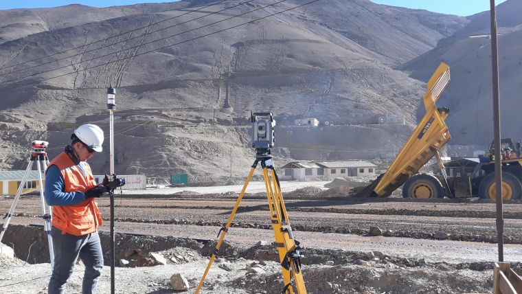
This seemingly simple question is surprisingly hard to answer, so I will outline some considerations. Improving workflows focused on a few, well-defined applications entails other concerns than when multiple business fields are covered. If your focus is on sparse point measurements in urban areas, it may be sufficient to extend your total station fleet with high-accuracy GNSS receivers. If you are growing your business through terrestrial laser scanning as a novelty, you should consider questions such as: How will you approach potential clients and retain existing ones? And do you have the necessary in-house expertise to use the new equipment, or should new staff be recruited? The time needed to retrain staff in mastering new equipment and workflows is an often underestimated cost factor.
Does the design of the equipment anticipate technological developments that lie ahead? In other words, is the equipment future-proof? Can it be upgraded without high costs, or even booted up at the touch of a button? One example is the GNSS receiver supplied with hundreds of channels for capturing future GNSS signals so that outages in urban canyons and under canopy will steadily diminish over time.
What is your company’s vision for the future? An aerial survey company that restricts itself to 2D mapping only will have other concerns than one that envisages 3D mapping and other new services. The latter may be interested in camera systems with oblique viewing heads or even a hybrid system equipped with cameras plus Lidar.
Equipment and processing software are intertwined like fuel and oxygen in an internal combustion engine. Data formats should allow easy import in subsequent steps in the workflow. Should the transition from one workflow to the other be gradual or sudden? Some topographic agencies may prefer to continue using analytical photogrammetry in parallel, perhaps because the equipment is not yet amortized or the workforce is not yet flexible enough to dive into digital photogrammetry.
Advanced equipment that is not yet in widespread use can give you efficiency gains and hence a competitive advantage without compromising your revenues, especially in the beginning. But buying equipment also means buying the vendor’s services and support. When you surrender yourself to a third party, a soft criterion comes into play: trust.
In larger organizations, decision-makers may have a non-technical background. Steered by budgetary constraints, their main deciding factor might be the purchase cost. However, what initially seems cheap may turn out to be expensive in the long run... the devil is in the detail.
Mathias Lemmens is an independent geomatics consultant.

Value staying current with geomatics?
Stay on the map with our expertly curated newsletters.
We provide educational insights, industry updates, and inspiring stories to help you learn, grow, and reach your full potential in your field. Don't miss out - subscribe today and ensure you're always informed, educated, and inspired.
Choose your newsletter(s)


