Human Health and Wellbeing
In 2003 the GeoUnions ISPRS, IGU, IUGG, IUGS, and IUSS formed Joint Science Program Teams (JSPTs) to collaborate on five emerging interests within the International Council for Science (ICSU). In 2008 ICSU approved a long-term ecological ‘systems approach' to Science for Health and Wellbeing (SHWB) and made funds available to initiate scientific infrastructure assessments. The JSPT for Health received a grant to assess how its collective science content related to the SHWB framework, with the goal of outlining how geophysical processes are integrated into causal chains and complex, non-linear interactions between environment and disease. A basic premise of the systems approach defined by ICSU is that it should permit one to integrate existing and new data and information, generate new insights and identify gaps in knowledge. The system should also enable reasonable scenario projections for testing and refinement.
Convergence
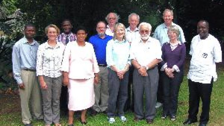
JSPT-Health met the ICSU Regional Office for Africa in Pretoria in January 2009 with the defined objective of identifying and documenting where and how geosciences converged with the SHWB framework, specifically for sub-Saharan cities. The guiding principle was that GeoUnions should contribute at the interface between geophysical, biophysical and cultural histories of land surfaces, and that geophysical contributions would underpin biological and chemical processes governing human and environmental health and ecosystem functions.
Each GeoUnion possesses models adaptable to human health and wellbeing, many at regional and local scale. These were used to create a matrix which was then distributed to union experts to broaden and verify inputs. Contributors were asked to provide sample applications and references for models or model systems and to link these to topic areas identified in the ICSU-ROA Science Plan for health. These efforts led to identification of environmental factors that have known health consequences. When translated into geoscience parameters these factors can be modelled.
Modelling
There are at least three avenues for geophysical modelling in the SHWB programme: (a) near real-time spectral and spatial measurements of surface properties that can be assimilated into numerical models for specific air, water and soil applications; (b) seasonal and annual statistical and heuristic models that inform health authorities about cumulative exposure levels; and (c) long-term satellite data collection and retrieval systems capable of linking environmental change to local and regional health outcomes. When natural events or human-induced hazards alter surface properties, observed new properties can be modelled quickly and evaluated for their human health implications based on a priori knowledge that many diseases have associated environmental determinants.
For a copy of the project report contact Stan Morain, ICSU Grant PI,
smorain@edac.unm.edu.

Value staying current with geomatics?
Stay on the map with our expertly curated newsletters.
We provide educational insights, industry updates, and inspiring stories to help you learn, grow, and reach your full potential in your field. Don't miss out - subscribe today and ensure you're always informed, educated, and inspired.
Choose your newsletter(s)


