Report
GeoExpo China
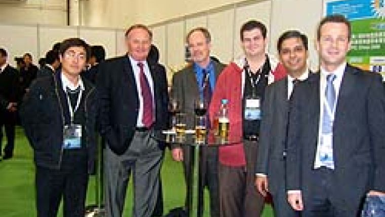
GEOExpo, the international geospatial information technology and measurement equipment exhibition, was held in Shanghai, China from 2nd to 4th December 2008. The event was organised by the China Information Industry Trade Association, supported by the China Association of Remote Sensing Application and the Information Centre of the Ministry of Land and Resources. What did our readers think of the event?
Hannu Korpela of Terrasolid, Finland states: "I believe that the exhibition was a failure as I knew it would be. There were few visitors. One reason was obviously because this was the first geo-exhibition in China, and the geo-exhibition culture is still in its infancy. Secondly, I believe that the local land surveying and other authorities were not involved in the organisation and they were not well informed about the event.
The event showed what a risky business it is to organise exhibitions and congresses. Due to the current economic situation the near future does unfortunately not look promising."
Korpela continues: "For us, the event was not a total catastrophe, as we managed to get some useful contacts. Terrasolid already has four years experience in doing business in China. The bottlenecks, I believe, are a low education levels, which means that not all features of the packages are used. Operators do not invest in training, support and maintenance.
To conclude, surveying is increasing in China for many reasons, monitoring environment pollution being one. We need to be there even though these initial events are disappointing. I appreciate the efforts of the GeoExpo team which has launched international geo events in China."
Shirley Kong of FOIF, China, comments: "The first GeoExpo exhibition in Shanghai was a new experiment for China. FOIF was, therefore, glad to participate in such an event. However, this first conference did not meet our expectations. The reason is, I believe, that the organisation only invested in overseas advertising and ignored the local market. As a result, in China, few people knew about this event. Also, the organisation did not invite local students to visit the exhibition."
And our reader Bernd Vogel, GeoFENNEL, Germany concludes, "For me it was not worthwhile to visit. It was aimed at the domestic market only."
GeoEye-1 Seminars Australia
Over three hundred registrants lined up for the GeoEye-1 seminars held from 12th to 17th November 2008 in Brisbane, Sydney and Perth. Users of high-resolution imagery gathered to learn about the pricing, technical specifications and availability of this new data source. Speakers at the seminar included Lisa Dykes, satellite imagery leader at AAMHatch, and Joel Campbell, director of product management at GeoEye.
These two companies hosted the event, providing participants with information on the GeoEye-1 satellite, which will deliver products at 0.5m resolution and positional accuracy, without ground control, in the order of 3m.
GIM International has covered GeoEye-1 several times, most recently in our December issue's interview.
Campbell told the seminar that the GeoEye-1 satellite would begin commercial operations in early 2009. With the other GeoEye satellite, Ikonos (0.8m pixel at nadir) still in operation, it is now possible for users to select the satellite that best suits their requirements. AAMHatch plans to continue running GeoEye-1 seminars across more Australian cities and New Zealand in early 2009.
Have you visited an event?
Submit your contribution (about 300 words copy, and images) to Boukje Vreman, e-mail: bouk...@reedbusiness.nl, or contact her for more information.

Value staying current with geomatics?
Stay on the map with our expertly curated newsletters.
We provide educational insights, industry updates, and inspiring stories to help you learn, grow, and reach your full potential in your field. Don't miss out - subscribe today and ensure you're always informed, educated, and inspired.
Choose your newsletter(s)


