Review of the EAASI Partners Summit 2023: navigating the future of aerial surveying
The EAASI Summit 2023 in Lisbon in November was a resounding success. While the aerial surveying association’s fifth annual gathering highlighted the growing unity within the industry, there was also a clear call for continued collaboration as the key to overcoming challenges.
In the story of how aerial surveying has evolved, the European Association of Aerial Surveying Industries (EAASI) emerged in 2019 as a unifying force for the European industry. Taking inspiration from the successful model of the USA’s MAPPS, EAASI set out on a transformative journey, bringing together industry leaders, promoting collaboration and advocating for the relevance of aerial surveying.
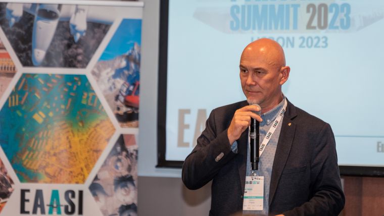
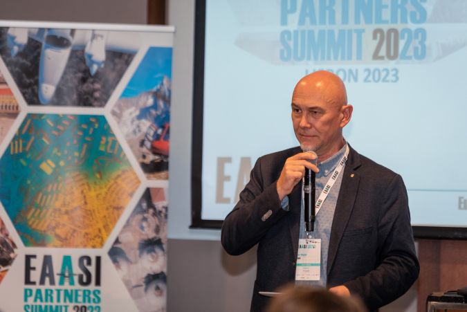
Now, standing strong four years since its establishment, EAASI represents a coalition of over 50 companies. The recent EAASI Summit 2023 in Lisbon, held from 21-24 November, marked its fifth annual gathering, highlighting the growing unity within the industry. The event was attended by 77 guests representing 49 companies from 21 countries, signifying a substantial achievement in industry unity. Since the first inaugural summit in 2018 in Elsinore, Denmark, the industry has made notable strides in fostering collaboration and addressing common challenges. This year’s agenda delved into critical topics such as airspace access, talent attraction, evolving business models, and data standardization.
AI focus: exploring the frontier of artificial intelligence
One highlight of the summit was the AI-focused session featuring keynote speaker Emilie Lundblad, director of data & AI at Amesto Nextbridge and Microsoft regional director. The session delved into transformative collaborations and multimodal models, and showcased a live demonstration of generative AI applied to aerial surveying. Lundblad also joined a thought-provoking panel discussion on the integration of artificial intelligence (AI) in geospatial applications. Moderated by Konrad Wenzel (director of the Esri R&D Center Stuttgart), the panel included key figures such as Abigail Coholic (sales director at Ecopia) and Prof Dr-Ing Martin Kada from Technische Universität Berlin.
The discussion addressed critical questions, exploring the collaborative role of open-source and commercial partnerships in enhancing computer vision models for aerial surveying. Additionally, the panel delved into bridging academia and industry to foster innovation and talent acquisition, the potential of synthetic data for object detection, strategies for improving the efficiency of generative AI, and the intriguing concept of large language models (LLMs) ‘unlearning’ information. These insights reflect the industry’s commitment to advancing AI in geospatial science, paving the way for future innovations and partnerships.
Air traffic control: navigating regulatory challenges
Another crucial topic addressed at the summit was the relationship between aerial surveying companies and air traffic control (ATC) authorities. Helio Sales from NAV Portugal, the country’s national ATC authority, and various industry leaders joined an ATC experts panel moderated by Cedric Anciaux. Insights from Dave Connor (RVL Aviation), Søren Vosgerau Jespersen (Hexagon) and Olaf Möller (AVT Airborne Sensing) provided valuable perspectives on navigating regulatory challenges.
Strengthening alliances with the younger generations
Recognizing the industry’s staffing challenges, EAASI has been actively working to strengthen alliances with academia and students. Simon Musäus introduced the ‘Outstanding Thesis Award – Geospatial Business Bridge’. This award has been launched by EAASI to encourage innovative research at the intersection of geospatial data and business.
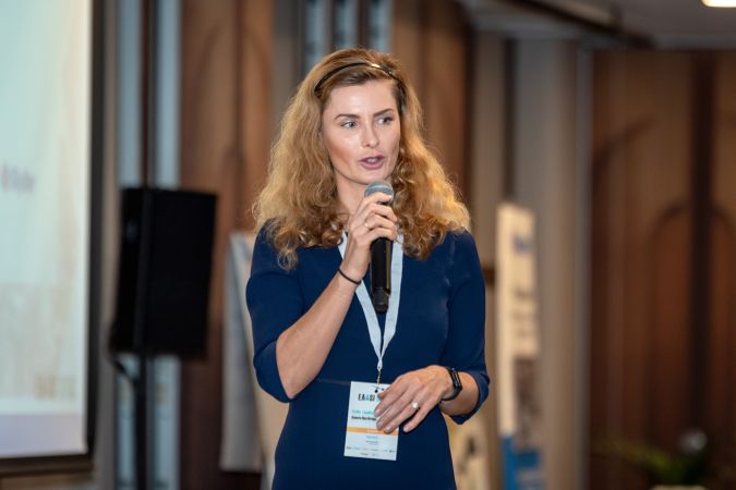
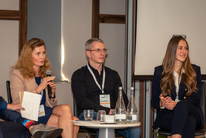
The summit included a panel on ‘University and Student Engagement’ moderated by Musäus, which explored strategies to attract and nurture talent in the aerial surveying landscape. Angel Collado, professor of geomatics engineering and representative of FIG Young Surveyors Network (YSN), along with Vasil Dimitrov (general secretary of IGSM Sofia) and Ada Perello (EAASI communications manager), exchanged ideas about how to enhance the connection between the younger generations and the aerial surveying industry.

Industry Challenges Committees: a new framework
A key feature of each EAASI summit is the dedicated space for an industry debate, an integral exercise consistently proving its worth in comprehending the intricate challenges faced by the aerial surveying sector. This dynamic forum serves as a platform for collaborative problem-solving and strategic solution formulation.
At the recent Lisbon summit, participants could choose between four Industry Challenges Committees, each one of them led by an EAASI board member. The committees concentrated on critical aspects such as university and student engagement, industry technical standards, ATC and new business models, reinforcing EAASI’s commitment to collaborative problem-solving and industry progress. The efforts of each committee will continue throughout the year within working groups, with regular reports on achievements being communicated to the members.
Other topics covered
Further enriching the summit, Paulo Patrício, head of the Geodesy, Cartography and Geographic Information Department at the Directorate-General for the Territory (DGT), delivered an insightful presentation on ongoing projects at the Portuguese national mapping agency. Of particular significance was his update on the Lidar data survey for mainland Portugal. The agency is set to produce a new digital terrain model, along with various derived products, including vegetation maps managed by the Nature Conservation and Forest Institute. Scheduled to commence in the coming months at a density of 10 points/m2, this endeavour promises comprehensive insights.
Dr Joana Simoes, representing the Open Geospatial Consortium (OGC), contributed to the summit with a presentation on standardization. She delved into the intricacies of the standards development programme, shedding light on the formal consensus discussion and approval process, as well as the steps involved. Emphasizing the critical role of OGC standards in facilitating geospatial information interoperability, Joana highlighted their global impact, as they are utilized by numerous organizations worldwide and integrated into millions of lines of code. Endorsed by international organizations, these standards accelerate the pace of innovation across the geospatial landscape.
Another interesting aspect of the EAASI Summit 2023 was the spotlight on technical presentations from sponsors, showcasing the cutting-edge innovations shaping the aerial surveying landscape. Leading companies including Teledyne Geospatial, Esri, Hexagon, Phase One, Riegl, Skyline and Vexcel took centre stage to present their latest advancements. Additionally, networking sessions, guided tours of Lisbon and social events reinforced the commitment to building meaningful connections, emphasizing collaboration as the key to overcoming industry challenges.
As president of the European Association of Aerial Surveying Industries (EAASI) since its inception, Simon Musäus guided the association to significant growth and consolidation in the European aerial surveying industry during his mandate. At the Annual General Meeting in June 2023, new leadership emerged: Florian Romanowski, president of OPEGIEKA, became the EAASI president, and Roland Stengele, former CEO of BSF Swissphoto, assumed the role of vice president, emphasizing a new framework for collaboration and competition.
Romanowski expressed his satisfaction after the event: “The EAASI Partners Summit 2023, with its record attendance, was undoubtedly a resounding success. The industry’s collaborative spirit and the association’s proactive initiatives showcased in this summit emphasize the need for continued collaboration. EAASI remains a driving force in shaping the future of aerial surveying in Europe, and we will continue working to enhance the visibility of the aerial surveying industry and give it the place it deserves.”

Value staying current with geomatics?
Stay on the map with our expertly curated newsletters.
We provide educational insights, industry updates, and inspiring stories to help you learn, grow, and reach your full potential in your field. Don't miss out - subscribe today and ensure you're always informed, educated, and inspired.
Choose your newsletter(s)


