Sanborn Signs 5-year Mapping Deal with USGS
Sanborn, a leading provider of geospatial solutions and technology, has won a Geospatial Products and Services Contracts (GPSC) award from the U.S. Geological Survey (USGS). The award allows the agency to negotiate task orders with Sanborn during the next five years. The indefinite delivery/indefinite quantity (IDIQ) contract is part of a range of multi-award agreements with a total cap of USD750 million. The contract gives USGS and other customers who use USGS procurement contracts access to the professional services they require.
A GPSC is a suite of contracts used by federal, state and municipal government entities to partner with the USGS to fulfill their geospatial data requirements. Photogrammetric and mapping services, such as those Sanborn provides, primarily are awarded under the umbrella of Architect-Engineer contracting. Services performed under a GPSC are negotiated and managed by the agency’s Commercial Partnership Team (CPT).
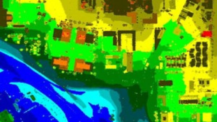
Geospatial spectrum
According to the USGS, its GPSC contractors are selected through a competitive, quality-based selection process, are well known to the CPT and are highly skilled with the full spectrum of geospatial and cartographic products. They are industry leaders with product-specific expertise, and maintain technical liaisons with the USGS.
Sanborn is honoured that the USGS selected the company to provide professional services under this multiyear agreement, said Jason Caldwell, Sanborn vice president of business development and sales. Only a handful of firms are awarded a GPSC contract. The choice confirms that the agency recognises Sanborn’s expertise and commitment to quality, he added.
Sanborn services performed under the GPSC may include imagery and Lidar data acquisition; photogrammetric mapping, and aerotriangulation; orthophotography; thematic mapping; surveying and control acquisition; image manipulation, analysis, and interpretation; map digitising; data manipulations; primary and ancillary data acquisition, and more.

Value staying current with geomatics?
Stay on the map with our expertly curated newsletters.
We provide educational insights, industry updates, and inspiring stories to help you learn, grow, and reach your full potential in your field. Don't miss out - subscribe today and ensure you're always informed, educated, and inspired.
Choose your newsletter(s)


