CAPIGI 2014: Connecting Agriculture and Geomatics
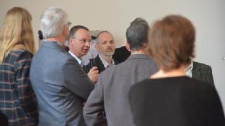
From 2-4 April 2014, the CAPIGI 2014 conference was held in Amsterdam, The Netherlands. It proved to be a first-rate event with lively discussions and networking opportunities. Bringing people together from the four relevant stakeholder groups (agriculture, science, government and private companies) resulted in an interesting mix of viewpoints on the use of geospatial information, and particular on how it can be applied to improve farming.
This year’s theme was ‘Connecting the Future’ with a focus on how spatial technology and data in the agriculture sector can be combined with the issues of the future, such as Common Agricultural Policy (CAP) reform, increased prices for inputs, sustainability demands, and Galileo and Copernicus becoming operational. The event covered a broad range of subjects within the scope of agriculture and geomatics, including the use of big data, geospatial aspects of crop management, GNSS as open data for agriculture, and opportunities for UAVs as ‘smart inspectors’ in arable farming.
The event was packed with interesting and varied presentations. To mention just a few of the highlights: Marlène van Benthem (Netherlands Space Office) presented the space roadmap for precision agriculture, whereby the goal is to have a daily, satellite data-based prescription map for agricultural activities by 2030; Simon Kay (European Commission - DG-CLIMA) explained how precision farming can also be ‘climate smart’ farming, by reducing fuels and greenhouse gas emissions from soils and animals; and Jens Fehrmann (TU Dresden) gave a presentation about Strategic Research Agenda for GNSS and Precision Agriculture, whereby he proposed an interesting theory: due to the lack of development of suitable systems, the technical potential of business process optimisation based on GNSS has barely been realised so far.
Familiar companies from the geomatics industry such as BlackBridge, ERDAS, Esri, European Space Imaging, Leica Geosystems and Trimble were involved in the 2014 edition of CAPIGI, and renowned institutes such as Anwendungszentrum Oberpfaffenhofen, European GNSS Agency, TU Dresden, Wageningen University and Research Centre played their role in the conference programme.
Three intensive days of talking, listening, discussing and making new contacts were the main ingredients of the conference. The organisers stated that they can look back on a successful event and will continue engaging the participants in the coming period towards the next CAPIGI. This event proved once again that geomatics and agriculture are closely connected.
About CAPIGI
CAPIGI (Community on Agricultural Policy Implementation and Geo Information) started as a platform where the agricultural administrations, their science partners and the geospatial industries meet and discuss how geoinformation is used in the European CAP (Common Agricultural Policy) and how geoinformation can improve this policy field. Right from the beginning, in 2005, the organisers have been very interested in what happens on a farm in terms of precision farming, maps of soils, fields and crops used in management software, plus how remote sensing is used to help farmers in scouting and monitoring their crops. These tools are also used by governments for administration and control purposes. Bringing the abovementioned stakeholders together with stakeholders in the farm domain has been a great addition to the conference and provided inspiring grounds for discussion and exchange of views – something that happened too infrequently before.
For more information see the CAPIGI website.

Value staying current with geomatics?
Stay on the map with our expertly curated newsletters.
We provide educational insights, industry updates, and inspiring stories to help you learn, grow, and reach your full potential in your field. Don't miss out - subscribe today and ensure you're always informed, educated, and inspired.
Choose your newsletter(s)


