Delair-Tech Starts Partnership with Pix4D
Delair-Tech has announced a partnership with Pix4D and the release of seven new UAV system packages. Each of the new packages is targeted at different real-world usage scenarios (survey, agriculture, surveillance) and contain an entire turnkey, long-range UAV system and sensor that is topped off with training and Pix4Dmapper software for post-processing of data.
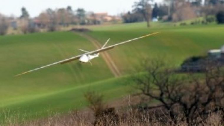
At the heart of most of the packages is the 2kg, 2-hour endurance, 100km-range DT-18: a beyond line of sight (BLOS)-certified UAV. If more power is required, customers can opt for the XL versions of the packages which utilise the DT-26 UAV airframe, effectively extending total range to 250km and endurance up to 4 hours.
UAVs are tools for collecting data. Currently, purchasing a UAV system can be a confusing process. With these new packages, Delair-Tech has aimed to simplify this as much as possible. The new packages include all components needed to begin flying quickly and the image processing software required to make use of that newly collected data. The company also bundled in their comprehensive training course for two pilots; the only thing the user needs to provide is a laptop, explained Benjamin Benharrosh, co-founder, Delair-Tech.
Pix4D
Delair-Tech has partnered with Pix4D to include the Pix4Dmapper image processing software in the UAV packages as the standard method of post-processing UAV-collected imagery to convert the DT-18 or DT-26 imagery into georeferenced orthomosaics, 3D surface models and point clouds. Pix4Dmapper is an UAV imagery processing software that offers an automated solution with integrated GIS and CAD editing tools.
The partnership with Delair-Tech makes a lot of sense since the long range and endurance of its UAV systems enable data capture on a game-changing level. Augmenting the systems’ unique data acquisition proficiencies with Pix4Dmapper’s digital processing capabilities creates the perfect solution for long-range, long-endurance UAV mapping needs, said Christoph Strecha, CEO, Pix4D.
Missions
In June 2014, Delair-Tech partnered with EDF, a leading producer of electricity, for missions utilising the DT-18 and DT-26. The UAVs performed live transmission line corridor surveys and vegetation analysis. The missions helped EDF to monitor the network in especially hard-to-reach areas within the mountains of Corsica, France. In July 2014, Delair-Tech UAV systems performed survey flights over open-pit mines in the Democratic Republic of Congo where accurate volume calculations and DSMs were created for the client. In both of these instances, the end users saved time and money, and eliminated the risk of injuries to employees. Pix4Dmapper software was used to produce the required 2D mosaics and 3D models for each of these projects.
For product information about UAVs visit Geo-matching.

Value staying current with geomatics?
Stay on the map with our expertly curated newsletters.
We provide educational insights, industry updates, and inspiring stories to help you learn, grow, and reach your full potential in your field. Don't miss out - subscribe today and ensure you're always informed, educated, and inspired.
Choose your newsletter(s)


