How Esri Is Putting Effort into Drone Mapping
5 Questions to... Cody Benkelman, imagery product manager at Esri
In early September 2018, it was announced that Esri and 3DR have partnered up to develop Site Scan Esri Edition. This end-to-end package includes full mission planning to easily capture and display data from unmanned aerial vehicles (UAVs or ‘drones’), and a simple workflow which enables use of the data in Esri ArcGIS. We asked Cody Benkelman, imagery product manager at Esri, for more details on this cooperation, how Esri is involved in drone mapping and what’s in it for geospatial professionals.
Esri is partnering with 3DR to develop Site Scan Esri Edition. Why is this important news for mapping and surveying professionals?
Site Scan Esri Edition will have immediate value for GIS users flying the Yuneec or DJI drones, because the direct connection to their ArcGIS Online account will ensure flight plans are properly created in sync with their GIS. Beyond this first development phase, I’m expecting Esri will continue to work with 3DR to add extra functionality into the flight planning process. There will be new requirements and opportunities for exploitation of geospatial data that will depend on unique project planning capabilities that don’t yet exist in most flight planning software. It’s premature to discuss future functionality, but this is just the beginning of a much deeper integration of drones into GIS workflows.
Esri is also cooperating with other UAV companies. What are the most notable examples?
We’ve worked with Insitu to support autonomous flights monitoring wildfires, and with AeroVironment on the north slope of Alaska. Esri has thousands of business partners in many vertical markets, and our work with unmanned systems goes back many years, although it has certainly exploded in the last three years. We’ve worked with many of the professional drone systems, such as Aeryon, SenseFly, Riegl, Ascending Technologies and MaVinci (now both part of Intel), and we have many users worldwide capturing data with the consumer drones from DJI and Yuneec. Regarding application areas, UAVs are now used regularly following major storm events such as tornadoes, hurricanes, fires and floods. Drone imagery is also being used very effectively to capture a snapshot of infrastructure before a storm arrives. We have many partners and clients flying mines and stockyards to do regular volumetric measurements or monitoring agriculture with multispectral cameras, and we’re seeing an increase in close-range inspection imagery.
What are the latest developments in Esri’s work on geospatial drone products?
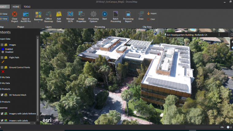
Since Esri provides the platform underlying the geospatial data management for many of the world’s largest companies and government agencies, we have a broad requirement to ensure ArcGIS efficiently ingests drone data and metadata. Orthomosaics and DSMs are readily usable in GIS, so we’re focusing on streamlining automation to allow users to scale up to support extensive drone operations. Focused analytical workflows based on the tools in ArcGIS are coming from business partners in various vertical markets. Esri has recently announced a new capability referred to as ‘oriented imagery’ for images with view orientation above the horizon. This is applied for close-range drone inspection imagery, and will see increasing use as terrestrial drones become more common. In addition, we have a current project with a business partner using ArcGIS Pro to do detailed flight planning in 3D for close-range inspection imagery of high-voltage transmission line towers and other assets.
How will big data sourced from drones impact on the future of the GIS industry?
Drones are mobile sensor systems that critically rely on, and constantly generate, geospatial data. There will certainly be a massive amount of data captured by tens of thousands of drones, although in most cases I wouldn’t consider that to be ‘big data’. The most appropriate phrase that I have heard is the ‘democratisation of data’. The low price of many drones, coupled with their ease of use and the high-quality results that can be produced, enables many more agencies and organisations to generate custom, high-resolution imagery and other types of data, including Lidar. This explosion of data availability is driving a wide range of new applications, as well as improvements in existing application areas. Of course, it’s not all easy – we still have a lot of work ahead regarding education about how to ensure the accuracy of the spatial and radiometric data as we attempt to overlay and analyse multi-temporal datasets.
There’s a lot of buzz around artificial intelligence (AI) and machine learning in the UAV-for-mapping industry. How is Esri involved in this?
Our focus at Esri is to build efficient interfaces into our software from the leading machine-learning architectures so that new algorithms or tools may be quickly applied in ArcGIS. We are seeing significant growth in and excitement about application of artificial intelligence to image analysis and prediction. This is applicable beyond just imagery, including to non-airborne drones. I expect we are only in the early stages of making machine learning highly effective. Our software and our users will also be deeply involved in providing the large training datasets that are required to train and optimise deep-learning neural networks. The vast amount of data worldwide already stored in the ArcGIS platform will prove to be very valuable for training machine-learning systems.
Cody Benkelman is product manager of the imagery team at Esri. He works to improve ArcGIS workflows regarding managing and using imagery, Lidar, elevation and video, with a recent focus on UAV sensor data. He has degrees in physics and electrical engineering, holds one patent and served as principal engineer for one of the industry’s earliest commercial multispectral digital camera systems.

Value staying current with geomatics?
Stay on the map with our expertly curated newsletters.
We provide educational insights, industry updates, and inspiring stories to help you learn, grow, and reach your full potential in your field. Don't miss out - subscribe today and ensure you're always informed, educated, and inspired.
Choose your newsletter(s)


