New Open-source Software Strengthens Satellite Geodesy Capability
Scientists from Geoscience Australia have released new software that will improve the ability to process large, remotely sensed satellite datasets. The new PyRate software is open-source Python software for collating and analysing Interferometric Synthetic Aperture Radar (InSAR) displacement time-series data.
InSAR is a non-invasive geodetic method that detects changes in the height of the Earth's surface using remotely sensed satellite imagery. This is a highly accurate satellite monitoring technique that uses two or more Synthetic Aperture Radar (SAR) images of an area to identify patterns of surface movement over time.
By monitoring movements of the Earth's surface, scientists can improve their understanding of how the Earth's crust changes over time, including changes in elevation caused by larger earthquakes and potential land subsidence caused by human activities such as groundwater and resource extraction.
InSAR processing capability
The new software builds upon a Python-language translation of the University of π-RATE software. This provides a portable and free solution that is scalable from desktop machines for small area processing to large multi-node super computers for conducting regional or continental-scale analyses.
The new software will enable Geoscience Australia to scale up its InSAR processing capability to run on the Australian National University's National Computational Infrastructure facility super computer. It will also support other scientists to make use of the ever expanding Australian national archive of Sentinel-1 SAR data available via the Copernicus Australia data hub, particularly for InSAR time series analysis.
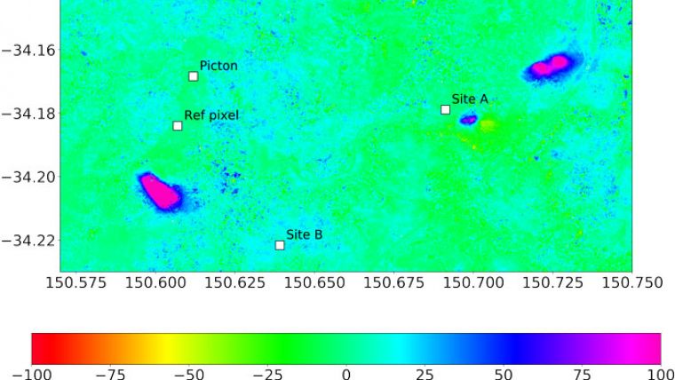
The new PyRate software will be applied to data obtained for a number of existing Geoscience Australia projects, including InSAR monitoring in Queensland's Surat Basin and in the Macarthur region, south of Sydney.
The PyRate version 0.2.0 software is available through Github and via PyPI, the python package index, with additional supporting documentation provided.

Value staying current with geomatics?
Stay on the map with our expertly curated newsletters.
We provide educational insights, industry updates, and inspiring stories to help you learn, grow, and reach your full potential in your field. Don't miss out - subscribe today and ensure you're always informed, educated, and inspired.
Choose your newsletter(s)


