SimActive Launches New Drone Training Programme for Mapping
This article was originally published in Geomatics World.
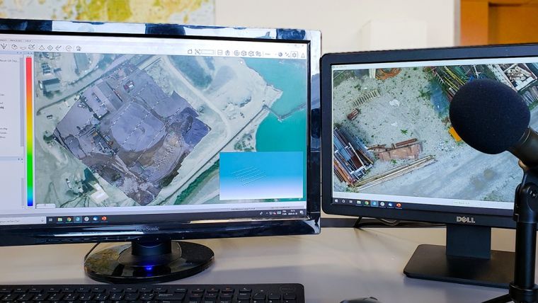
SimActive, the Canada-based developer of the Correlator3D photogrammetry software suite, announces a new training programme for drone mapping. The programme’s goal is to provide educational material and resources on how to effectively process drone imagery, to both neophytes and experts.
The new offering includes educational documents, tutorial videos and monthly webinars as well as tailored training sessions, which can be provided both online or on-site. All aspects of data processing are covered, such as the generation of DSMs, DTMs, point clouds, orthomosaics and 3D models.
“It is often difficult for drone mapping companies to differentiate themselves from competition and increase their profitability”, said Dr Philippe Simard, president at SimActive. “Our training programme allows them be more efficient and competitive, thus maximizing their bottom-line.
SimActive’s software solution, Correlator3D, performs aerial triangulation (AT) and produces dense digital surface models (DSM), digital terrain models (DTM), point clouds, orthomosaics, 3D models and vectorized 3D features, with processing speed to support rapid production of large datasets.

Value staying current with geomatics?
Stay on the map with our expertly curated newsletters.
We provide educational insights, industry updates, and inspiring stories to help you learn, grow, and reach your full potential in your field. Don't miss out - subscribe today and ensure you're always informed, educated, and inspired.
Choose your newsletter(s)


