Space Geodesy Pioneer
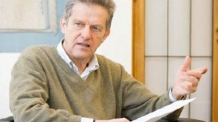
GIM International Interviews Reiner Rummel
The field of geodesy is changing dramatically. The recent decades’ developments – not only GPS and INSAR but also the Gravity field and steady-state Ocean Circulation Explorer (GOCE) mission carried out by the European Space Agency – have immensely altered both how professional surveyors, researchers and developers are regarded and how they work. Professor Reiner Rummel, co-initiator of GOCE mission which is measuring the gravity field from space, observes that geodesists tend to be modest and that it is mostly others who harvest the fruits of their labours in this field. Now partially retired, professor Rummel reflects on the past and looks to the future of a field he has always thoroughly enjoyed.
What has been your biggest contribution to the science of geodesy?
That’s difficult. I think my contribution to the Gravity and Ocean Circulation Explorer (GOCE) satellite mission would probably count as the biggest. I was one of the initiators of that project and I am still responsible for the level-2 processing of the data. The mission itself is a great success. But my heart would say that my greatest contribution has been educating so many young people over the years. It gives me great pleasure to see them making successful contributions to our field.
What is your strength, both in your scientific work and in your teaching?
If I have a strength, it would probably be the ability to translate often rather complex issues into much simpler words. Both for teaching and for the work related to the GOCE satellite mission, it is essential to be able to rephrase and simplify information, because it can sometimes be easy to drown in its complexity.
Can you explain in a few sentences what GOCE does?
GOCE is measuring the Earth’s gravity field in the greatest possible detail. This is the first time it has been done from space using the principle of gradiometry. The collected data enabled a new geoid to be derived, which was first unveiled in 2009. The accuracy of this geoid is being improved all the time using more and more data collected by GOCE.
The full interview is online at http://member.gim-international.com/. Please subscribe for free using the Subscribe button in the left hand column.

Value staying current with geomatics?
Stay on the map with our expertly curated newsletters.
We provide educational insights, industry updates, and inspiring stories to help you learn, grow, and reach your full potential in your field. Don't miss out - subscribe today and ensure you're always informed, educated, and inspired.
Choose your newsletter(s)


