University of Southampton Maps Icelandic Glacier with UAV
Alex Clayton and Tom Bishop of the University of Southampton, UK, have conducted flights over the Skaftafellsjökull glacier in Iceland just one week after completing training with a QuestUAV. Despite poor visibility and very little experience with their new UAV, they succeeded in capturing imagery for a high-resolution DEM of the area which was later processed in Agisoft Photoscan.
The trip lasted one week only and mainly concentrated on collecting GPS data and ensuring that GPS stations still worked, but with some spare time and good weather the crew got out flying. The UAV data will be used to support the geophysical work being done on the glacier. The crew hope to do continue their research using the QuestUAV and hope to get students from the University of Southampton involved in the near future.
The two are pleased to report that they were successful in flying over two days on the glacier. The Icelandic Civil Aviation Administration (CAA) were happy for them to fly more or less anywhere, in any manner, since the UAV weighs <5kg.
Both postgraduate research students initially flew at sea level on farmland to test the system. The coastal area in this region is very flat and does not really have any topographic or man-made hazards for tens of kilometres, so it is very suitable for test flights. The local small gulls repeatedly dived the aircraft but did not make contact… and a farmer's gun dog took a worrying interest whenever the aircraft landed, but Clayton and Bishop managed to restrain it.
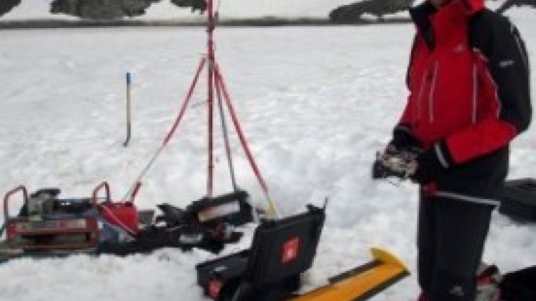
Then the UAV flew on the glacier. The winds were light (c.5 knots) and blew continuously down the ice. The area was covered in a medium-density snow which made landings very soft but not too wet – so long as the two remembered to operate the landing flap beforehand. They did have some concerns about boundary layer turbulence as the down-ice (katabatic winds) are localised and the area is topographically complex. Winds at height were 90 degrees to the surface winds, but neither appeared strong and the aircraft maintained its survey courses admirably. They had a petrol generator on the ice which proved essential as it both charged the batteries and also kept the crew warm.
Find here the video capture of the QuestUAV landing on Skalafellsjökull glacier.
Photo courtesy: University of Southampton.

Value staying current with geomatics?
Stay on the map with our expertly curated newsletters.
We provide educational insights, industry updates, and inspiring stories to help you learn, grow, and reach your full potential in your field. Don't miss out - subscribe today and ensure you're always informed, educated, and inspired.
Choose your newsletter(s)


