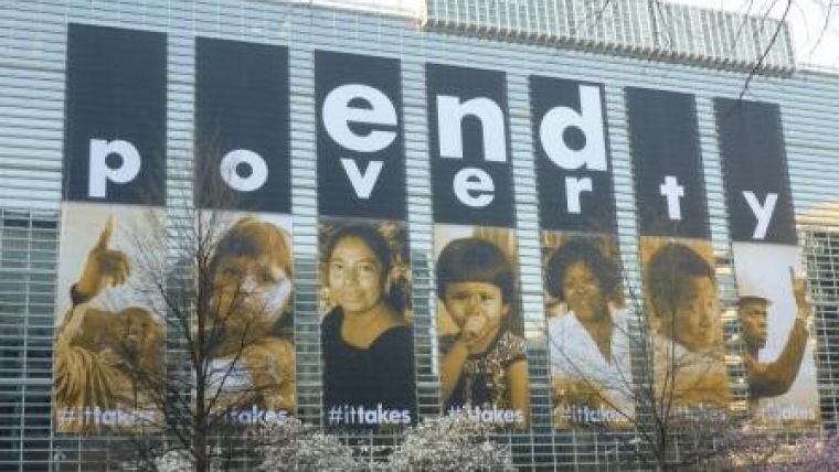
World Bank Conference on Land and Poverty 2013
The latest World Bank Conference on Land and Poverty was held in Washington D.C., USA, from 8 to 11 April 2013. Bringing together economists, social scientists, legal specialists and geospatial experts, the annual event seeks to reveal and robustly debate the latest developments within the international land sector. The forum encourages cross-pollination of ideas between governments, donors, advocacy groups, the private sector and academia.
Themes of agreement across this year’s event included: the importance of alignment between local and national institutions; that land titling is not the only means; the need to further reduce the costs of land administration; ensuring fit-for-purpose solutions; and the requirement to adhere to good land governance principles. A workshop on the World Bank’s Land Governance Assessment Framework (LGAF) revealed that it has already been applied in more than 20 countries.
Innovative land information acquisition approaches were highlighted, such as the use of UAVs to support the democratisation of data collection in a remote village in Ghana, crowdsourcing to improve the quality of cadastral information, and opening cadastral records to the public for feedback. Crowdsourcing techniques challenge the status quo and are being perceived as a particular threat to the current ‘gatekeepers’, namely national mapping and cadastral agencies, the surveying and legal professions, and land and property investors – all of whom at times take advantage of the current chaos.
In the arena of large-scale land acquisitions, a new database of concessions in Lao PDR was presented which has already had a significant impact on land policy there. The Observatory on Land Acquisitions Project aims to improve the quality and inclusiveness of policy dialogue and decision-making on land, both at national and global levels, by making spatial data – as well information on actors and their activities – more accessible and engaging. The interactive platform enables individuals and organisations to provide information. They can also explore commercial pressures on land. The tool will enable international and national policy dialogues with greater insight into the real conditions at the grass roots level. It will provide affected people a more direct voice in these processes. The aim is to create a Land Matrix 2.0.
Many other radical, innovative and exciting opportunities for positive change were also put forward. These included ‘spatially fit-for-purpose’ and the ‘continuum of continuums’. These concepts pose particular challenges to land professionals in a very conservative land sector and have exposed significant tensions. The progressive branch of the profession sees these radical changes as essential: if the profession is to seriously contribute to solutions to the 21st-century challenges, the opportunities need investigation. Meanwhile, those in a more conventionalist branch, currently holding more influence with regards to change, are not persuaded that a radical change programme is necessary. Herein lies the challenge for FIG: to engage all members and provide strong leadership on a comprehensive journey of change. If this is not successful, other professions will simply fill the vacuum. In parallel, as witnessed through recent G8 and G20 interest in land, the profession is being seriously challenged to solve land issues faster. It seems that land professionals are at a very significant juncture.

Value staying current with geomatics?
Stay on the map with our expertly curated newsletters.
We provide educational insights, industry updates, and inspiring stories to help you learn, grow, and reach your full potential in your field. Don't miss out - subscribe today and ensure you're always informed, educated, and inspired.
Choose your newsletter(s)


