10 Years of Ultracam Aerial Mapping Systems
The year 2013 marks the 10-year anniversary of UltraCam digital photogrammetric aerial mapping systems. Since the introduction of the UltraCamD in 2003, numerous and significant technological advancements have contributed to rapid adoption and widespread market acceptance of the product line.
For anyone who remembers the hardware and software used to create maps ten years ago, it is clear that the profession has been transformed by digital technology. The volume of data that is collected today with large imaging footprints makes flying more efficient and the faster processing allows access to finished products in shorter periods of time. The geographic reach and expertise of digital providers as a result of successful penetration of the aerial market has provided more opportunities for customers to choose the right products for their needs, be it obliques, orthos, or digital terrain models, at a price they can afford.
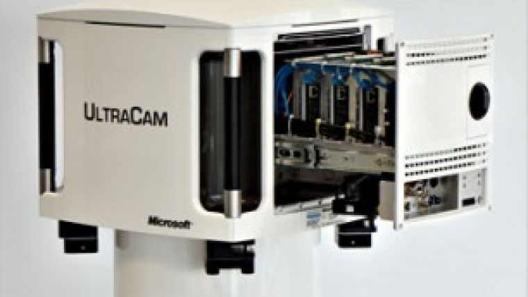
In May 2006, Vexcel Imaging, the developer and manufacturer of the UltraCamD, was purchased by Microsoft. At the same time, the second generation UltraCamX was released into the market, which formed the basis for a continuous upgrade path for UltraCam customers. The UltraCamX was followed by the UltraCamXp and the UltraCamL/Lp in 2008. With each new system, customers benefited from better image quality, higher data collection rates, and greater processing efficiency.
UltraMap 1.0, a workflow software developed to enable managing and processing vast amounts of digital aerial data, was included with purchases of UltraCamXp and UltraCamL/Lp systems and provided to existing UltraCamXp customers after its initial release in March 2009. Today UltraMap is in its third release and includes new functionality for the automated processing of 3D point clouds, digital surface models (DSM) and ortho mosaics.
In 2011 the UltraCam Eagle was introduced with a new modular housing concept and exchangeable lenses in two different focal lengths, an 80mm standard and 210mm tele for high altitude flights, and UltraNav, an integrated flight management and georeferencing system. The UltraCam Falcon, released in 2012, also offers two lens focal lengths, a standard 100mm or wide angle 70mm, and is positioned between the UltraCamLp and the ultra-large UltraCam Eagle with respect to image footprint and price.
Another unprecedented achievement was announced in 2012 when Bing Maps completed the Global Ortho program. Over a two-year period of time, the entire continental United States and Western Europe was flown at 30-cm resolution with extra-wide-swath UltraCamG cameras, resulting in the first continent-wide dataset of high-resolution ortho mosaics.
The past ten years have seen significant changes in the aerial mapping market and within the UltraCam product line. The remarkable evolution of this technology has provided new business opportunities for many as applications for digital imagery continue to be developed.

Value staying current with geomatics?
Stay on the map with our expertly curated newsletters.
We provide educational insights, industry updates, and inspiring stories to help you learn, grow, and reach your full potential in your field. Don't miss out - subscribe today and ensure you're always informed, educated, and inspired.
Choose your newsletter(s)


