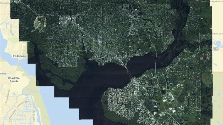
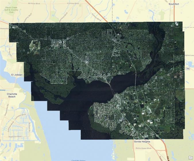
Aerial Imagery Aids Hurricane Ian Recovery in Florida
Fugro has completed a rapid response mapping project in southwest Florida following Hurricane Ian’s recent trail of destruction. The project involved acquisition of high-resolution aerial imagery over Port Charlotte and Fort Myers, two of the state’s hardest hit communities where assistance is most needed. Fugro worked in partnership with McKenzie Intelligence Services (MIS) for the project.
MIS is using the post-disaster imagery to perform fast and accurate damage assessments, which will allow insurance companies to help their customers financially recover from this catastrophic event as quickly as possible.
Accurate Post-storm Analysis
The project was accomplished within days of Hurricane Ian making landfall and represents the first collaboration between Fugro and MIS since announcing their strategic partnership earlier this year. Mobilizing to the project site within 24 hours of notice to procced, Fugro began acquiring aerial imagery on the Friday with operations continuing through the weekend. Project imagery was made available to MIS within 24 hours of each flight, complementing their existing imagery and data sources, and feeding into their damage assessment work in the delivery of loss analysis via their Global Events Observer (GEO) platform.
Louise Jones, head of intelligence for MIS, said: “Fugro have been excellent partners as we respond to the devastation caused by Hurricane Ian. Their rapid response and high-quality imagery has been a huge help to our intelligence team, allowing our analysts to produce accurate and timely assessments of the severity and cause of damage.”
Keith Owens, commercial director of remote sensing and mapping for Fugro in the Americas, stated: “Responding to a disaster is never easy, but it is critical work. We are proud to have partnered with MIS on this project, contributing to timely and accurate post-storm analysis that will make a meaningful difference in the communities where we worked this past week.”

Value staying current with geomatics?
Stay on the map with our expertly curated newsletters.
We provide educational insights, industry updates, and inspiring stories to help you learn, grow, and reach your full potential in your field. Don't miss out - subscribe today and ensure you're always informed, educated, and inspired.
Choose your newsletter(s)


