Aero-Graphics Places First Order for Optech Galaxy Airborne Lidar
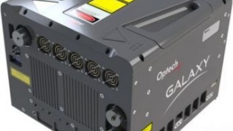
Optech has announced that Aero-Graphics placed the first order for a new Optech Galaxy last November. Optech’s newest airborne laser terrain mapper (ALTM) includes PulseTRAK technology that will provide Aero-Graphics with various advantages in terms of survey efficiency, data consistency, reliability and flexibility.
A long-time client of Optech, Aero-Graphics has a keen interest in employing airborne Lidar, acquiring the Orion M200 in 2009 and upgrading it to the high-power H300 model in 2012. By acquiring the Galaxy, Aero-Graphics aims to maintain their position on the leading edge of Lidar technology while making sure that their existing infrastructure and expertise remains strong. The Galaxy sensor maintains Orion’s compact footprint for perfect compatibility with Aero-Graphics’ existing pod-based, static and gyro-stabilised mounts. It is also compatible with their existing CS-10000 airborne metric digital camera, and uses the same high-efficiency FMS and LMS planning, navigation and processing workflow, which has been updated for 2015.
Galaxy is a perfect fit for the work Aero-Graphics is doing right now, including both high-altitude wide-area and low-altitude corridor surveys, said Jim Green, Optech regional sales manager for Canada and USA West. The system’s first big focus will be the 2015 spring survey season in the Rocky Mountains, and Galaxy’s PulseTRAK technology makes it much easier to survey terrain with such variable elevation. For example, its continuous operating envelope provides seamless data acquisition via the complete elimination of multipulse blind zones for ease of planning and tremendous collection freedom. Coupled with a swath tracking mode that dynamically adjusts the scan field-of-view in response to changing terrain elevation, Galaxy’s PulseTRAK technology further ensures consistent point density and swath widths for maximum collection efficiency, Green continued.
Casey Francis, Aero-Graphics' vice president, noted that the integration of Lidar over the past six years has enabled them to meet their clients’ needs much more efficiently than ever before, and the Galaxy helps enhance that efficiency by improving consistency of density and coverage in challenging mountainous areas.

Value staying current with geomatics?
Stay on the map with our expertly curated newsletters.
We provide educational insights, industry updates, and inspiring stories to help you learn, grow, and reach your full potential in your field. Don't miss out - subscribe today and ensure you're always informed, educated, and inspired.
Choose your newsletter(s)


