Arrowhawk Imaging Selects Ultracam Eagle for Aerial Mapping
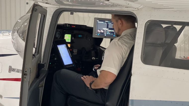
Arrowhawk Imaging has selected an UltraCam Eagle Mark 3 aerial camera system with a 100mm lens as its first airborne imaging system. Since purchasing the sensor from Vexcel Imaging in 2019 and installing the unit in a Cessna 206 single-engine aircraft, the mapping company has successfully completed numerous projects.
“We recognized the growing demand and multiple uses for aerial imagery and wanted to enter the market as a service provider with a large-format sensor to complete medium to large projects,” said Lance McKeever, director of finance & enterprise operations at Arrowhawk. “Vexcel’s technology offers us a competitive advantage because the Eagle Mark 3 has a very large footprint and fast frame rate, which leads to more efficient flying without sacrificing high quality and accuracy.”
The UltraCam Eagle is capable of capturing 10cm GSD at 5,000m above the ground. At this high elevation, the 450MP footprint collects more data in less time, shortening the hours needed for collection and optimizing flying windows.
“In addition to the exceptional camera performance, the level of service Vexcel provides is far superior to any other company in the marketplace,” said McKeever. “In our experience, Vexcel will do whatever it takes to keep our company operational with as little down time as possible, which in turn makes us a more reliable partner.”
Planning Flights from a Photogrammetric Perspective
The Thrasher Group is a well-established architecture, engineering and field service provider that handles all image processing and value-added product development for Arrowhawk. Using UltraMap, Vexcel’s photogrammetric post-processing software, the team rapidly generates high-quality data products from every UltraCam flight. The highly automated processing capabilities expedite the workflow, and UltraMap is scalable to meet short deadlines by processing data in parallel across thousands of cores.
In addition to the advanced sensor technology, the UltraNav software provides integrated flight management and georeferencing to optimize UltraCam missions. “We plan the flights from a photogrammetric perspective to ensure the results meet the customers’ requirements,” said Craig Fry, chief photogrammetrist and aerial mapping manager for Thrasher Group. “On days that wind or turbulence isn’t conducive to image collection, UltraNav is an advantage because of the leeway it allows the pilot and the ability of the IMU to address drift through the mount. On numerous missions in challenging conditions, the data collected was great and we didn’t have to incur added expenses to refly.”
For large projects such as county-wide collections, the large-format Eagle covers the area of interest in a smaller number of flight lines and produces highly accurate imagery with fewer seam lines and better colour consistency.
“We hope to gain a name for ourselves by partnering on large projects, since we know the sensor and software we have allow us to complete missions and deliver products in minimal time,” McKeever stated. “Based on the past two years of operations, we are confident that we can do exactly what our clients want by providing quality service and first-rate imagery at a high level of efficiency.”

Value staying current with geomatics?
Stay on the map with our expertly curated newsletters.
We provide educational insights, industry updates, and inspiring stories to help you learn, grow, and reach your full potential in your field. Don't miss out - subscribe today and ensure you're always informed, educated, and inspired.
Choose your newsletter(s)


