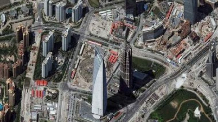
Cloud-free Imagery of China's Cities
Having collected millions of square kilometres of imagery over the last 12 months, the DigitalGlobe ImageLibrary now includes a mix of rich archive and constantly refreshed satellite imagery covering more than 150 of China's largest cities, such as Beijing, Shanghai, Shenzhen, Kunming and Qingdao. DigitalGlobe's ImageLibrary encompasses 34 million square kilometres of cloud-free China coverage.
With the latest collections, DigitalGlobe's ImageLibrary is three times the size of other available high-resolution, commercial image libraries and offers government and business customers a strong foundation for making business and policy decisions.
DigitalGlobe's head of North Asia Commercial Sales Takayuki Odawara said the company's satellite constellation helps it quickly identify and track changes across the country, one of the world's largest and fastest growing. "The Pearl and Yangtze River Delta regions, the province of Hebei and the cities of Beijing and Tianjin are all highly dynamic and central to China's economy. Our customers need up-to-date, complete imagery of these key areas to track and manage urban development, create the freshest mapping applications, and cost efficiently run their businesses. Our three satellites are constantly at work in China, delivering the up-to-date information and insight that helps customers stay ahead of change."
DigitalGlobe customers in China include leading consumer companies such as China Mobile and civil government agencies such as the China Ministry of Land Resources and the State Bureau of Surveying and Mapping. China Mobile uses satellite imagery from DigitalGlobe in its turn-by-turn navigation service, GIS/fleet management service and standalone map viewer offering. Civil agencies use satellite imagery and the information about changes it reveals for land use management and planning.
Odawara added that DigitalGlobe expects to provide refreshed imagery every quarter and to continue to widen its coverage of the major metropolitan areas across China in the coming months.

Value staying current with geomatics?
Stay on the map with our expertly curated newsletters.
We provide educational insights, industry updates, and inspiring stories to help you learn, grow, and reach your full potential in your field. Don't miss out - subscribe today and ensure you're always informed, educated, and inspired.
Choose your newsletter(s)


