Collaborative vision for land innovation in Indonesia
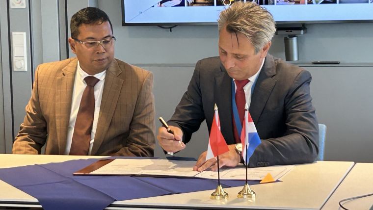
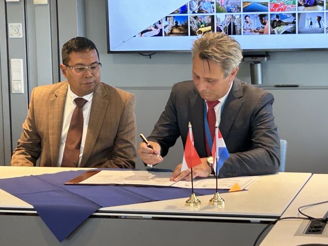
Dutch Kadaster and the Indonesian National Land Agency have signed a new Memorandum of Understanding (MoU). The two parties have been collaborating on the modernization and digitalization of land registration in Indonesia for several years.
As this partnership has evolved, the ambition to deepen their cooperation has grown stronger. This led to the formal signing of the Memorandum of Understanding (MoU) on 20 September 2023 by Frank Tierolff, the executive board chairman of Dutch Kadaster, and Virgo Eresta Jaya, the director general of land and spatial survey and mapping at the Indonesian National Land Agency. This MoU signifies a commitment to supporting Indonesia in its journey toward the digital transformation of its cadastral systems and infrastructure over the next five years.
Indonesia is actively striving to advance its land administration system to align with social, economic and environmental needs. The agency has made significant strides in recent years, especially in expanding map coverage. Kadaster has played a pivotal role by providing its Indonesian counterpart with valuable experience, capacity and knowledge, contributing to the elevation of Indonesia's land administration capabilities.
Four focus areas
In this partnership, the focus areas include achieving comprehensive cadastral coverage in Indonesian urban areas to address existing deficiencies in the current system. Another key objective is to explore and test options for implementing 3D land administration in the Indonesian context, particularly to support mapping and registration in rapidly urbanizing regions. Additionally, the partnership aims to leverage greater value from the growing array of land data assets in Indonesia by developing new e-products and e-services tailored to specific customer segments. Finally, there is a focus on designing and developing a geo-ICT infrastructure that enables integrated land and environmental management, with Dutch Kadaster's extensive experience in integrating topographic services into the organization positioning them as valuable collaborators in this endeavor.
Over the coming months, the joint agenda will be further refined, and opportunities for funding joint activities will be actively explored.

Value staying current with geomatics?
Stay on the map with our expertly curated newsletters.
We provide educational insights, industry updates, and inspiring stories to help you learn, grow, and reach your full potential in your field. Don't miss out - subscribe today and ensure you're always informed, educated, and inspired.
Choose your newsletter(s)


