ComNav launches new handheld GIS data collection solution
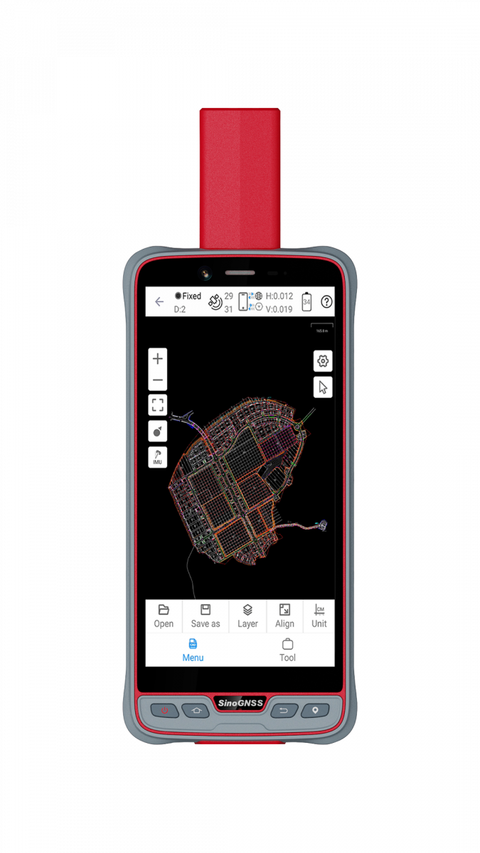
ComNav Technology has introduced its new handheld P6H. This advanced and rugged device is tailor-made for GIS data collection and outdoor operations. Featuring a GNSS high-precision positioning module, rugged IP67-rated design, and 6-inch sunlight-readable display, the P6H ensures incredible positioning accuracy, including in harsh environments.
Equipped with a SinoGNSS self-developed high-precision K8 board and antenna, it tracks all running and planned constellations with 1,590 channels, including GPS, BDS, Glonass, Galileo, QZAA, IRNSS and SBAS. Its accuracy remains at centimetre or decimetre level. Its IP67 rating offers excellent protection against dust and water, ensuring it offers efficiency and durability even in tough environments. The addition of a 6,600mAh removable battery with quick charging extends its operational capacity, so it is ideal for prolonged outdoor use.
Moreover, ComNav’s new device features a sunlight-readable screen with a 6-inch display for clear visibility in bright sunlight, reducing glare and reflections. This touchscreen, designed with a 5-point capacitive system, not only enhances user interaction by being intuitive but also accommodates diverse operational needs. It is adept at capturing data in various conditions, whether through the use of a stylus, while wearing gloves, or even with wet hands. Additionally, the device's ability to withstand being dropped from a height of 1.2 metres adds to its reliability, especially for professionals who work in challenging outdoor conditions.
Mastering survey data
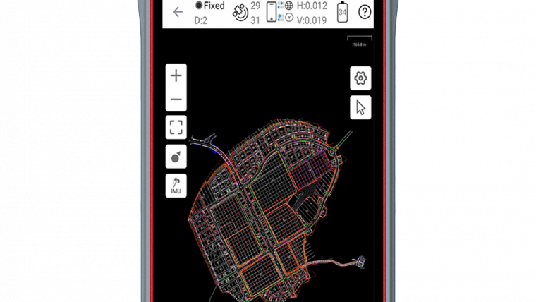
The P6H stands out not only due to the hardware but also the advanced software integration. It comes equipped with Survey Master, boasting robust GIS functions. These allow users to take measurements of geographic elements and store the results as attribute data for subsequent analysis, calculation and visualization. It also includes a Mock Location function, allowing the accurate sharing of Survey Master's position with P6H. This enables third-party GIS software to access the high-accuracy location data, facilitating a more effective and integrated use of various software tools in professional tasks.
In addition to its integration with Survey Master, the P6H boasts compatibility with common GIS software such as ArcGIS Collector, Mapit GIS and QGIS. This adaptability ensures its versatility as a tool for collecting and analysing geographic data. Moreover, the P6H features an 8-core 2.0GHz processor, up to 128GB of storage and up to 6GB of RAM. This ensures smooth software operation and efficient data processing, enhancing task efficiency.
The P6H handheld device, featuring a high-precision GNSS module and antenna, is tailor-made for efficient and precise on-site work. It incorporates 4G LTE, Wi-Fi and Bluetooth 5.0 BLE, enhancing its data transmission and sharing capabilities. This capability reduces data transfer and processing times, thus improving work efficiency, accelerating task completion and ultimately boosting overall productivity.

Value staying current with geomatics?
Stay on the map with our expertly curated newsletters.
We provide educational insights, industry updates, and inspiring stories to help you learn, grow, and reach your full potential in your field. Don't miss out - subscribe today and ensure you're always informed, educated, and inspired.
Choose your newsletter(s)


