ComNav Technology Helps to Bring Beidou Benefits to Users in Africa
By applying Beidou technology, ComNav Technology has yielded fruitful results in African land mapping, continuous operating reference station (CORS) construction, precision agriculture and other fields over the past decade. Every day, thousands of users in Africa are now benefiting from Beidou products thanks to the CORS built with ComNav’s technology in 11 sub-Saharan African countries, including Uganda, Burkina Faso and Tunisia. GNSS technology company ComNav has increasingly deepened its cooperation with Africa since the start of the Belt and Road Initiative in 2013, according to recent media coverage by 'People’s Daily' – the largest newspaper group in China.
Over the past ten years, the high-precision GNSS products and solutions from ComNav (founded in 2012) have helped various African countries to build railways, highways, hospitals and other infrastructures, playing an important role in regional connectivity.
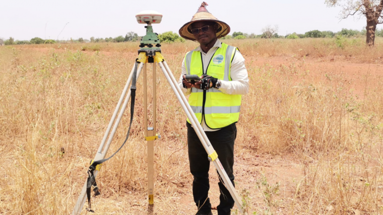
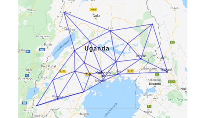
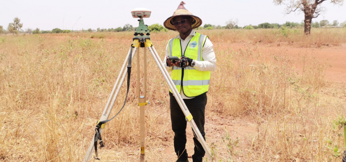
National CORS Construction in Uganda
The authorities in Uganda, located in East Africa, decided to purchase the high-precision Beidou RTK and to build their own CORS in response to demand. In 2015, David Mulindwa, chairman of Uganda Surveying Association, was part of a delegation that visited ComNav in Shanghai to learn more about the basic operation and maintenance of high-precision Beidou products and technologies.
“The measuring efficiency of the optical equipment we used was low; it took at least three days to survey just a dozen kilometres of road. Now it takes just ten hours using a Beidou high-precision receiver,” said David. Whereas surveyors used to have to carry heavy optical equipment around every day, now they just need to hold a Beidou receiver to process the relevant data. This has greatly improved the work efficiency and accuracy, he explained.
So far, 30 CORS have been built in Uganda alone. According to David, Uganda currently has the most advanced CORS system in East Africa, able to provide high-precision spatial and temporal information and meet the needs of land mapping, mining, vehicle management, meteorological monitoring and other fields.
High-precision and Rapid Measurement of Hospital Construction in Burkina Faso
In response to the COVID-19 outbreak, Burkina Faso’s government decided to build a hospital for infectious diseases. In April 2021, BDS/GNSS high-precision technology was used to provide basic survey data for the construction of the hospital. The land security and topographic surveying tasks were completed within only six days, in less than half the originally scheduled time. ”Beidou RTK works efficiently, saving precious time for epidemic prevention and control,” stated Augustin Bamouni, secretary-general of the Burkina Faso National Surveying Association.
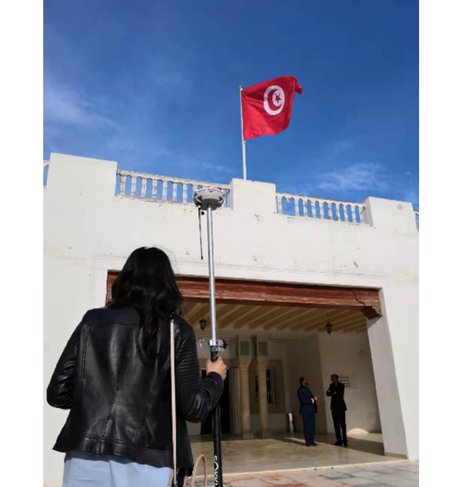
The China-Arab Beidou/GNSS Centre in Tunis
Located at the Ghazara Science Park in northern Tunis, the capital of Tunisia, the China-Arab Beidou/GNSS Centre is China’s first overseas Beidou centre. It provides satellite navigation training, test evaluations and technical research for African and Arab countries. Real-time data on the central screen shows that Tunisia can receive signals from more than 12 Beidou satellites on average.
Mr Amiri Khalil, state secretary in charge of scientific research at Tunisia’s Ministry of Higher Education, said that the China-Arab Beidou/GNSS Centre would help Tunisia and other African countries to train new professionals in this area, support the development of the digital economy, promote the application of GNSS technology and achieve win-win cooperation.
Providing Technical Support Locally
Apart from supplying products and technologies, ComNav regularly arranges for its employees to go abroad to provide technical support on the ground, including in Cameroon, Nigeria, Mali and Zambia as well as other African countries. Even during the pandemic ComNav has continued to offer professional services, either through cooperation with local partners or through remote after-sales support and technical training (online, Skype, WhatsApp) from its technical teams.

Value staying current with geomatics?
Stay on the map with our expertly curated newsletters.
We provide educational insights, industry updates, and inspiring stories to help you learn, grow, and reach your full potential in your field. Don't miss out - subscribe today and ensure you're always informed, educated, and inspired.
Choose your newsletter(s)


