Digital Mapping Camera Conference
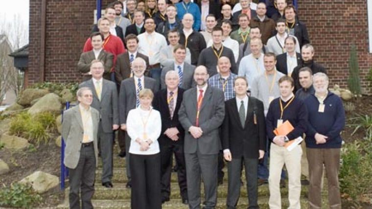
More than 50 leading aerial mapping company representatives and Intergraph Digital Mapping Camera (DMC) users from twelve different countries in Europe, Africa and the Middle East met for the fourth annual Intergraph European Digital Mapping Camera User Forum. At the event, attendees heard from industry leaders and learned more about producing high-resolution digital aerial images.
The user forum, held 26 and 27 January in Münster (Germany) featured keynote speaker Dr. Karsten Jacobsen of the Institute of Photogrammetry and GeoInformation at the University of Hanover. Dr. Jacobsen presented a comparison of "GSD versus true GSD" and why specially designed camera optics, such as those used in the Intergraph Z/I Imaging DMC, result in much better image quality and geometric accuracy than systems using off-the-shelf optics. This advanced quality leads to more mission options and much better system productivity.
Users also learned about the latest product updates for the large-format DMC and the new Intergraph medium-format RMK D camera, which will be ready for delivery by mid-2009. Software updates included the upcoming ImageStation 6.0 software release, which will offer enhanced image viewing and processing capabilities and additional features for quality assurance. Additional software updates were provided for the mission planning and reporting (Z/I Mission), flight management and sensor control (Z/I Inflight) and image post processing solutions.
The participants also had the opportunity to have a guided company tour of Hansa Luftbild, an Intergraph photogrammetry customer that has been in business for more than 80 years, serving Europe, North Africa, Arabia and Asia. The firm offers services including project management, flying, development and interpretation of aerial photography, digital cartography, processing of geodata, software development and the implementation of geoinformation systems.

Value staying current with geomatics?
Stay on the map with our expertly curated newsletters.
We provide educational insights, industry updates, and inspiring stories to help you learn, grow, and reach your full potential in your field. Don't miss out - subscribe today and ensure you're always informed, educated, and inspired.
Choose your newsletter(s)


