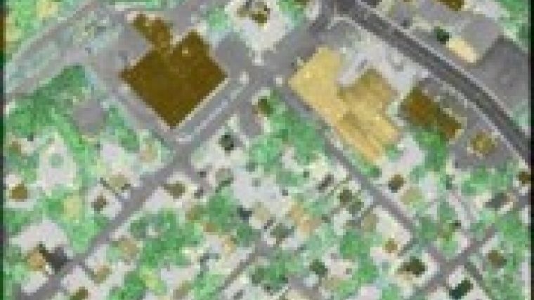
Doubling Airborne Lidar Data Acquisition
Leica Geosystems' Point Density Multiplier technology for airborne Lidar allows the use of a single laser and scanning mechanism to provide over double the data collection productivity of previous systems. This technology will be incorporated into Leica Geosystems' ALS series airborne Lidar Systems.
According to Ron Roth, Product Manager for Airborne Lidar at Leica Geosystems' Airborne Sensors Business Unit, the market constantly demands higher productivity from airborne sensing systems to reduce the equipment and labor costs associated with data collection. The measurement rate of 500kHz gives the industry-leading data acquisition productivity that Leica's customers desire, without the complexity of multiple lasers or scanners. It also allows the doubling of scan rates.
"Doing this with a single laser and scanner maximises accuracy by using a single measurement electronics chain, while maximising reliability by reducing parts count. Dual-laser scanner designs were rejected due to data consistency risks. This new technology actually has a higher pulse rate than two current-generation systems operating in tandem. Because this technology uses the proven ALS60 platform, the technology can be readily installed in existing Leica Geosystems Lidar systems, thus preserving current customers' investments."

Value staying current with geomatics?
Stay on the map with our expertly curated newsletters.
We provide educational insights, industry updates, and inspiring stories to help you learn, grow, and reach your full potential in your field. Don't miss out - subscribe today and ensure you're always informed, educated, and inspired.
Choose your newsletter(s)


