DroneMetrex Accomplishes Photogrammetric Mapping Project
DroneMetrex, Australia, has successfully performed another project using its premier mapping system TopoDrone-100. This time, the client was one of the key players in Australia's recycling and waste management industry, and DroneMetrex managed to make a humble contribution to a cleaner environment for the country.
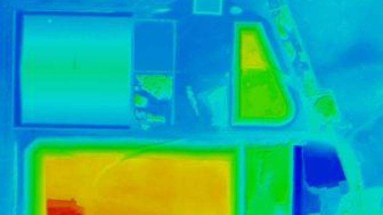
The mapping project helped the client solve lots of important issues and the TopoDrone-100 accuracy proved to be paramount in this respect. The client is licensed by the Environment Protection Authority (EPA) to build the waste mounds to an absolute height of 26m above sea level (ASL).
After several months, the compaction of the waste, due to its own weight and top-soil, reduced the height of these large waste mounds. This provided the opportunity for more waste to be added onto the same mound. Therefore, it is vitally important to regularly monitor the accurate height of the mounds to ensure that the mounds are always under the absolute ASL height, which is a legal obligation. At the same time, monitoring the amount of waste mound compaction allowed the client to financially benefit by adding additional waste to the same mound.
Secondly, the project also involved the mapping of the whole area owned by the client, in order to be used as the base mapping for future planned expansion of the waste processing requirements. Importantly, the mapping needed to be accurate to compare Ownership with Occupation (cadastral boundary which is ownership versus the fencing on the presumed boundary which is occupation).
A highly accurate photogrammetric mapping system, TopoDrone-100 reliably mapped a waste recycling site covering the area of 4sq km and captured 2.5cm GSD aerial imagery with 25mm absolute accuracy. The company specialists launched and landed from open paddocks, and the whole flight sortie took 60min of flight. They measured by kinematic GPS survey 10 detailed features to use as the GCPs for the photogrammetric processing. The data processing took 2 hours.
Photogrammetry-ready
Tom Tadrowski, executive director of DroneMetrex, explained that because the TopoDrone-100 uses the (patent-pending) Gyro-stabilised Active Mount (DMX-GAM), which houses a 24Mp digital camera with Zeiss lens, full-framed sensor and leaf-shutter, the imagery captured is "photogrammetry-ready". Each image is near-nadir, no crab, and without the random geometric errors of all other digital camera systems. DroneMetrex then processes with its own software in the pre-processing stage, correcting for the known systematic errors.
Once they have the photogrammetric aerial triangulation, and then the generation of the dense point cloud, they treat this as their base product which allows them to further generate the DTM, DSM, digital orthophoto mosaic, contours and profiles. Because the TopoDrone data is proper photogrammetric data, DroneMetrex is able to use the stereo image pairs for accurate human 'heads-up' 3D digitising of line features if required. The highly detailed mapping accuracies of the TopoDrone enable them to confidently provide photogrammetric accurate data.

Value staying current with geomatics?
Stay on the map with our expertly curated newsletters.
We provide educational insights, industry updates, and inspiring stories to help you learn, grow, and reach your full potential in your field. Don't miss out - subscribe today and ensure you're always informed, educated, and inspired.
Choose your newsletter(s)


