Earth Observation Data for Everyday Applications
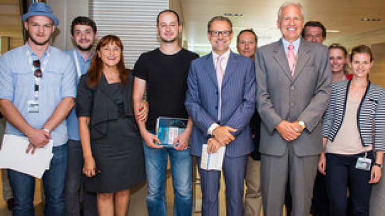
Using satellites to improve the exploitation of water resources is just one of the innovative ideas developed over the week-long 'camp' dedicated to creating mobile apps drawing on Earth observation data. Twenty developers from 11 countries convened at ESA’s ESRIN centre in Frascati, Italy, in early September 2014 for the third annual 'App Camp'.
The goal was to bring Earth observation data – particularly coming from the European Copernicus environment-monitoring programme – to everyday users through smartphones.
Each of the five teams had a week to create an app under the following categories: emergency and rescue management, marine environment and maritime transportation, lifestyle and tourism, environmental protection or agriculture.
The teams presented their apps to a panel of ESA judges who ranked the projects based on innovation, relevance for Copernicus, market and business value, feasibility of the concept and overall presentation.
Water availability
Developers of the WaterSense app won the challenge. The group proposed the use of satellite data on water availability and soil moisture to assist farmers with irrigation.
In Italy and Spain, about half of water resources are used for agriculture. The proposed app would combine information from ESA’s Sentinel-1 mission with weather predictions from meteorological satellites to give farmers a field-by-field analysis of soil moisture, resulting in the better use of precious water resources.
Members of the winning team were each presented with a cash prize of EUR625. All teams were encouraged to apply to one of the ESA’s 19 Business Incubation Centres to develop their ideas further.
Other apps developed during the week included 'Badespass', which provides swimming water quality information. The German name roughly translates into ‘Swimming fun’. 'Qinu' – a word for ‘ice’ in Inuit – is a concept for an app that provides information on sea-ice thickness to fishermen, enabling them to evaluate risks such as getting boats stuck in ice. The 'Lookout' app would be used for wildfire detection and mapping, while the 'Sun Tracker' app would give an hourly report of sunshine on ski slopes.

Value staying current with geomatics?
Stay on the map with our expertly curated newsletters.
We provide educational insights, industry updates, and inspiring stories to help you learn, grow, and reach your full potential in your field. Don't miss out - subscribe today and ensure you're always informed, educated, and inspired.
Choose your newsletter(s)


