European mapping agencies welcome flexibility in high-value geospatial data rules
Europe’s NMCAs have welcomed the European Commission’s definition of geospatial information as a high-value dataset.
Responding to the implementing rules for high-value datasets (HVDs) as parf of the EU's Open Data Directive, their membership association EuroGeographics commended the European Commission (EC) for its public-sector-friendly approach which recognizes the investments already made by national mapping, cadastral and land registration authorities (NMCAs). It also highlighted the recognition of national providers of official geospatial information as important enablers of cross-border data applications and services as an important step forward.
“We are pleased that many of the suggestions made by our members have been acknowledged in the implementing rules that define and set out arrangements for the publication and re-use of high-value datasets,” said Sallie Payne Snell, acting secretary general and executive director, EuroGeographics.
“Our first impression is that the final technical specifications are flexible. However, our members must receive financial support in implementing them to ensure overall coherence and long-term sustainability. We will be discussing this further to determine which of our members’ existing geospatial datasets already meet the criteria,” she added.
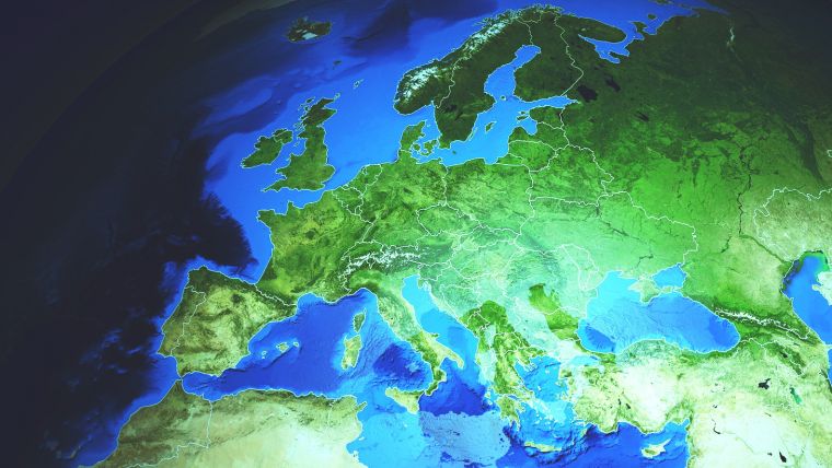
Harmonized geospatial open pan-European data
“The value of data lies in its use and re-use. Therefore our members are keen to effectively implement this regulation and increase the availability of their data in the single market and beyond. We believe that this goal can only be achieved as a joint vision and action of policymakers, data holders and data users, and we are pleased that the rules show a coordinated approach regarding the technical specification,” Payne Snell continued. “Our challenge now is to meet the needs of users in a way that can be sustained for the benefit of all.”
EuroGeographics and its members already have first-hand experience in implementing the HVD Regulation through the Open Maps for Europe project (co-financed by the Connecting Europe Facility programme). This provides easy access to free-to-use harmonized official geospatial open pan-European data and thus addresses the risk of fragmented implementation, which was specifically recognized as a key obstacle to the functioning of the single market for data.
It now plans to build upon this success by developing the production process and prototype for the creation of large-scale high-value pan-European data.

Value staying current with geomatics?
Stay on the map with our expertly curated newsletters.
We provide educational insights, industry updates, and inspiring stories to help you learn, grow, and reach your full potential in your field. Don't miss out - subscribe today and ensure you're always informed, educated, and inspired.
Choose your newsletter(s)


