GeoSLAM Unveils Next-generation SLAM 3D Data Processing Platform
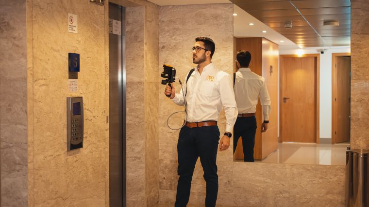
GeoSLAM is bringing automation to the industry with the launch of its Connect processing platform. The new solution provides users with the flexibility to process their data to their exact specifications all through a series of interactive customizable script-based workflows. GeoSLAM is one of the leading companies in mobile SLAM technology.
Developed on GeoSLAM's new operating system, LiDAR OS, and compatible with the ZEB family of products, the platform will minimize the time and effort needed to manually process datasets, and give users the option of add-on modules for automated analysis of a point cloud.
The easy-to-use interface enables users to run workflows on their ZEB data and applies further processing steps including filtering, decimation and integration of additional datasets such as photos and notes using a new smartphone app.
The multifaceted applications of SLAM technology
Commenting on the launch of GeoSLAM Connect, Graham Hunter, GeoSLAM CEO, said: “I’m delighted to see the launch of GeoSLAM Connect, following two years of extensive development from our expert teams. Throughout those two years, much has changed both in the geospatial world and general business landscape, but what hasn’t is the need for technological development. The last 12 months have only emphasized its impact and versatility, as well as the huge value of automating processes to save both time and money. Added to that, the adoption of SLAM technology has also risen, and its multifaceted applications have made it a useful companion for businesses in a variety of industries.”
“One industry I see it playing a huge role is property. In the short and long term, the management of space – whether offices or homes – will be firmly at the forefront of our minds. I predict there will be a greater emphasis on the set up and management of these spaces, and the insights Connect will provide will be vital to ensure they remain practical and safe spaces. I'm excited to see the combined capabilities of both our unique SLAM algorithm with the latest in automated processing come together, backed by our existing family of ZEB devices,” Hunter concluded.
While Connect will provide the basis for future software development, the software will have a range of add-on modules unique to a variety of industries – initially for building management and construction with the availability of Floorplan and Construction Progress modules, with additional modules to follow.
Alongside the release of Connect, GeoSLAM has launched its very own payment plan to lower the upfront cost of ownership by allowing customers to spread the cost of a device over 24 months.


Value staying current with geomatics?
Stay on the map with our expertly curated newsletters.
We provide educational insights, industry updates, and inspiring stories to help you learn, grow, and reach your full potential in your field. Don't miss out - subscribe today and ensure you're always informed, educated, and inspired.
Choose your newsletter(s)


