GIS Helps Achieving Educational and Environmental Outcomes in the Philippines
Supergeo Technologies has announced that National Mapping and Resource Information Authority in the Philippines and the Department of Geodetic Engineering at University of the Philippines and FEATI University have employed SuperGIS Desktop 3.1a and the analysis extensions to promote the use of GIS and achieve positive educational and environmental outcomes.
National Mapping and Resource Information Authority (NAMRIA) is an agency under the Department of Environment and National Resources, which focuses on the surveying and data management of the nation’s land and water resources. In addition to producing topographic maps, aerial photographs, and satellite images, NAMRIA makes spatial data more reliable and accessible for the governments to reach feasible solutions for environmental preservation and therefore improve the operational efficiency.
University of the Philippines (UP) andFEATIUniversity(Far East Air Transport Incorporated) are the leading educational institutions in the Philippines. Serving as the only national university, the UP Department of Geodetic Engineering plays an important role in facilitating the country’s GIS development. Established in 1946, FEATI University has a good reputation in the field of Engineering, Science and Technology with excellent education and successful alumni. The two universities have been enhancing its resources through the development of training centers and facility upgrades to satisfy the demands for a growing nation in the global community.
Performing plentiful GIS tools and advanced geoprocessing, SuperGIS Desktop3.1asolutions are ideal for developing GIS talents with geographical skills. Moreover, the GIS software also allows the government sectors to make informed decisions on organisational operations, as well as effectively overcome the issues that are resulted from urban planning, agricultural production, etc.
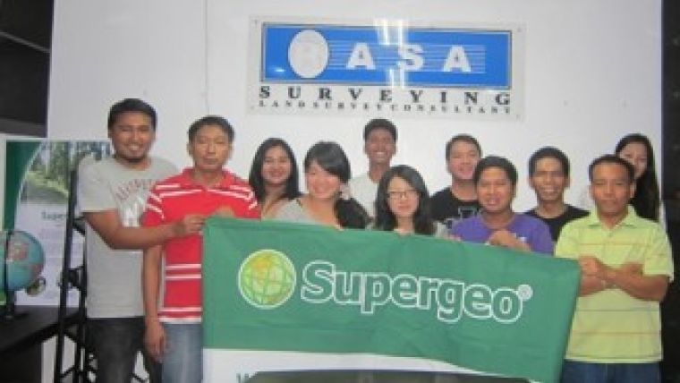
The collaboration schemes are contributed by RASA Surveying, Supergeo’s Platinum Partner in the Philippines. Working in the collaboration with RASA Surveying would help Supergeo to continually foster its brand awareness in the Southeast of Asia. The two parties will hold the SuperGIS software training for local clients in August 2013 to share the successful GIS projects and satisfy their needs for geospatial applications locally.

Value staying current with geomatics?
Stay on the map with our expertly curated newsletters.
We provide educational insights, industry updates, and inspiring stories to help you learn, grow, and reach your full potential in your field. Don't miss out - subscribe today and ensure you're always informed, educated, and inspired.
Choose your newsletter(s)


